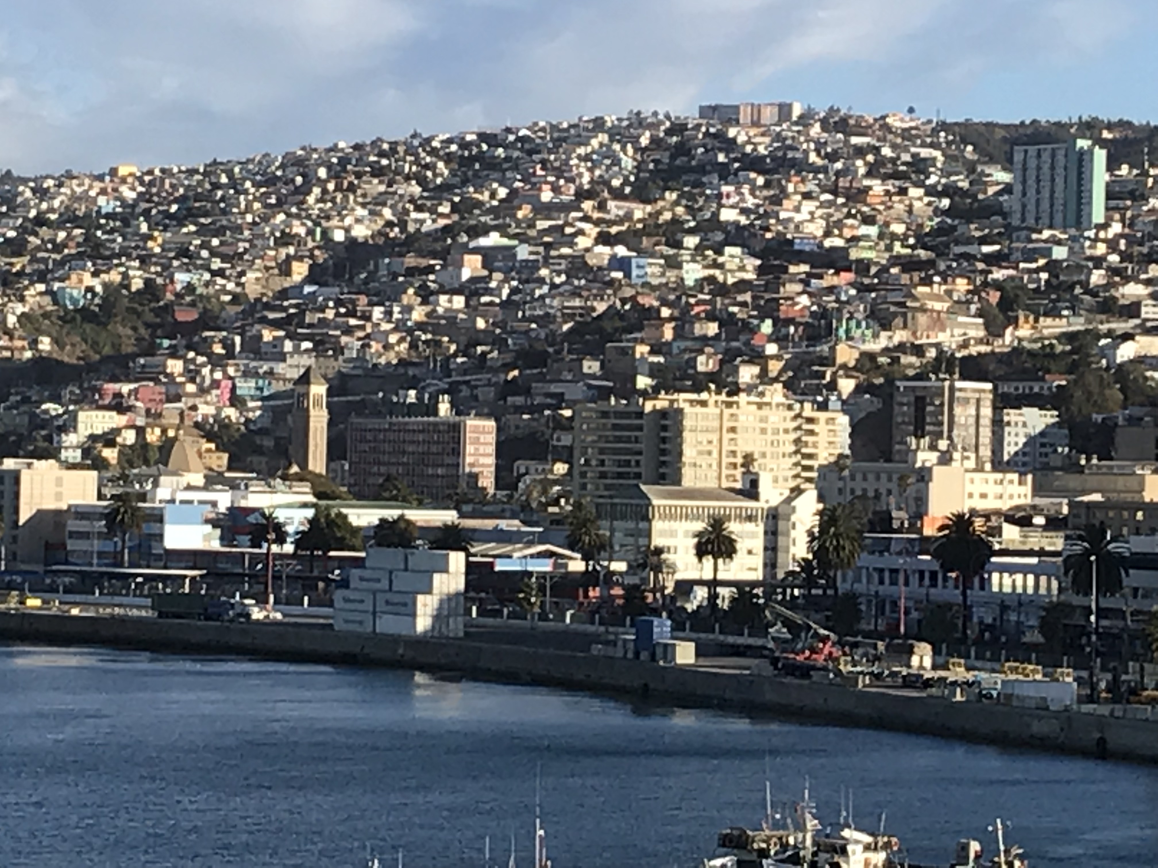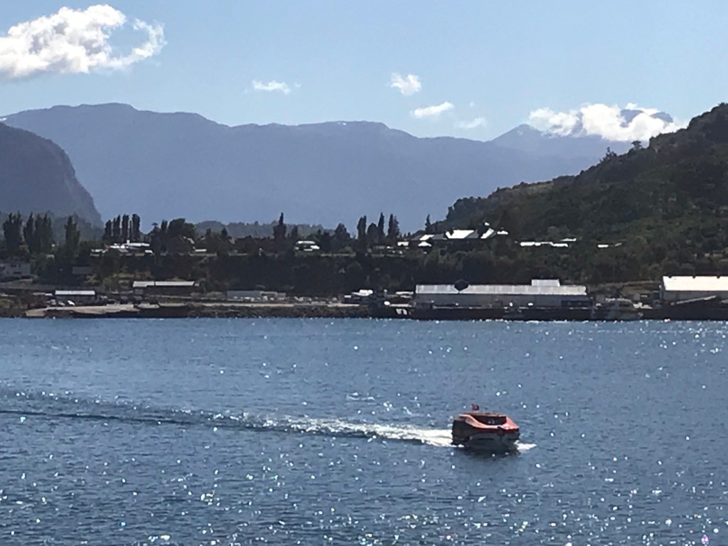
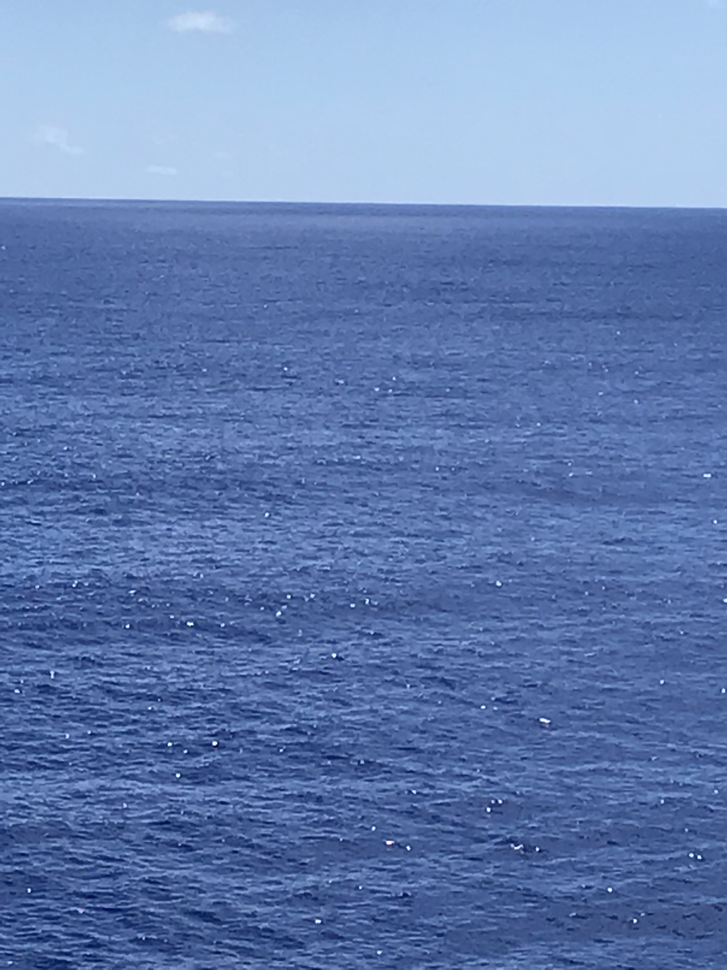
The pacific Pacific with sunlight glinting on it 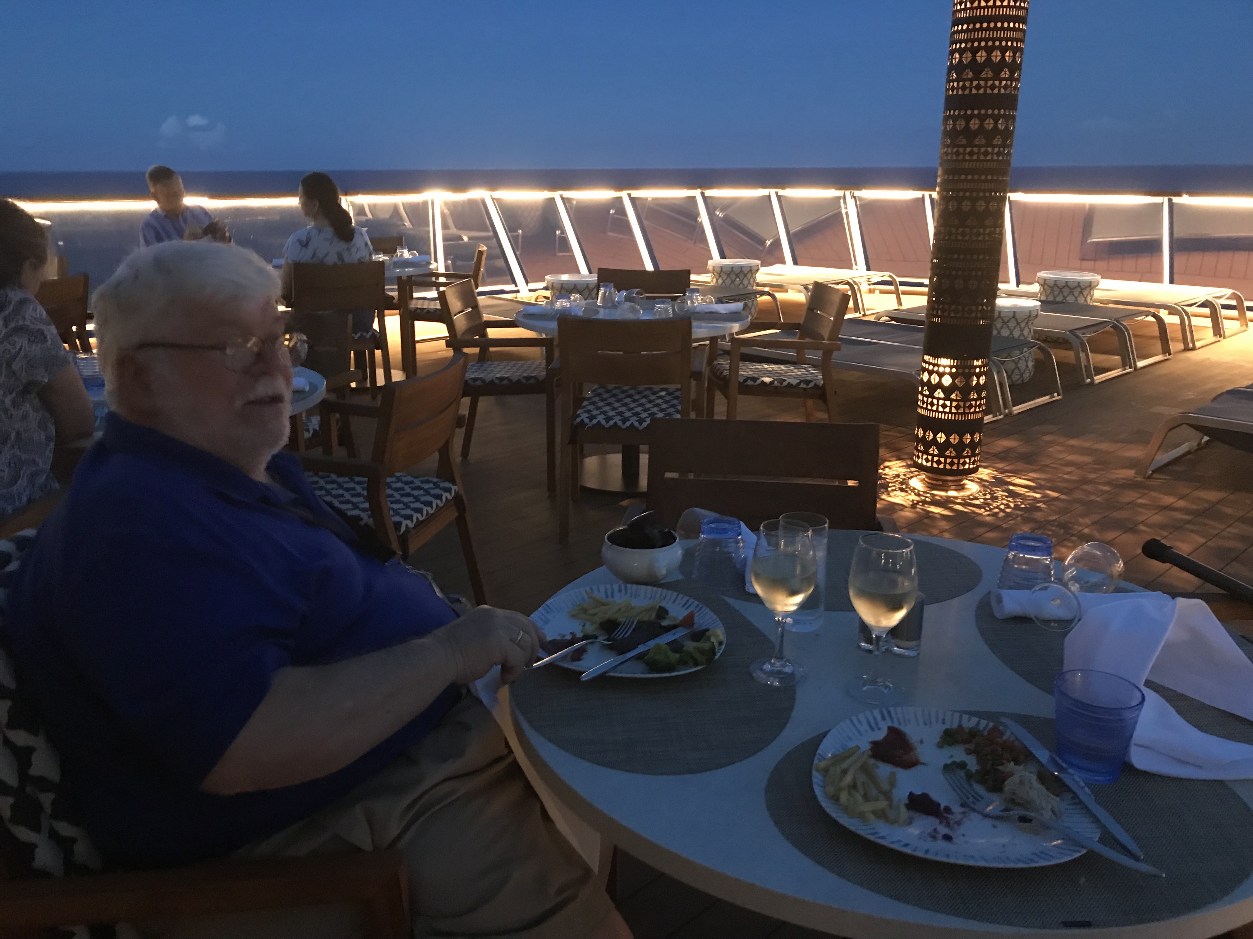
Dinner on the deck 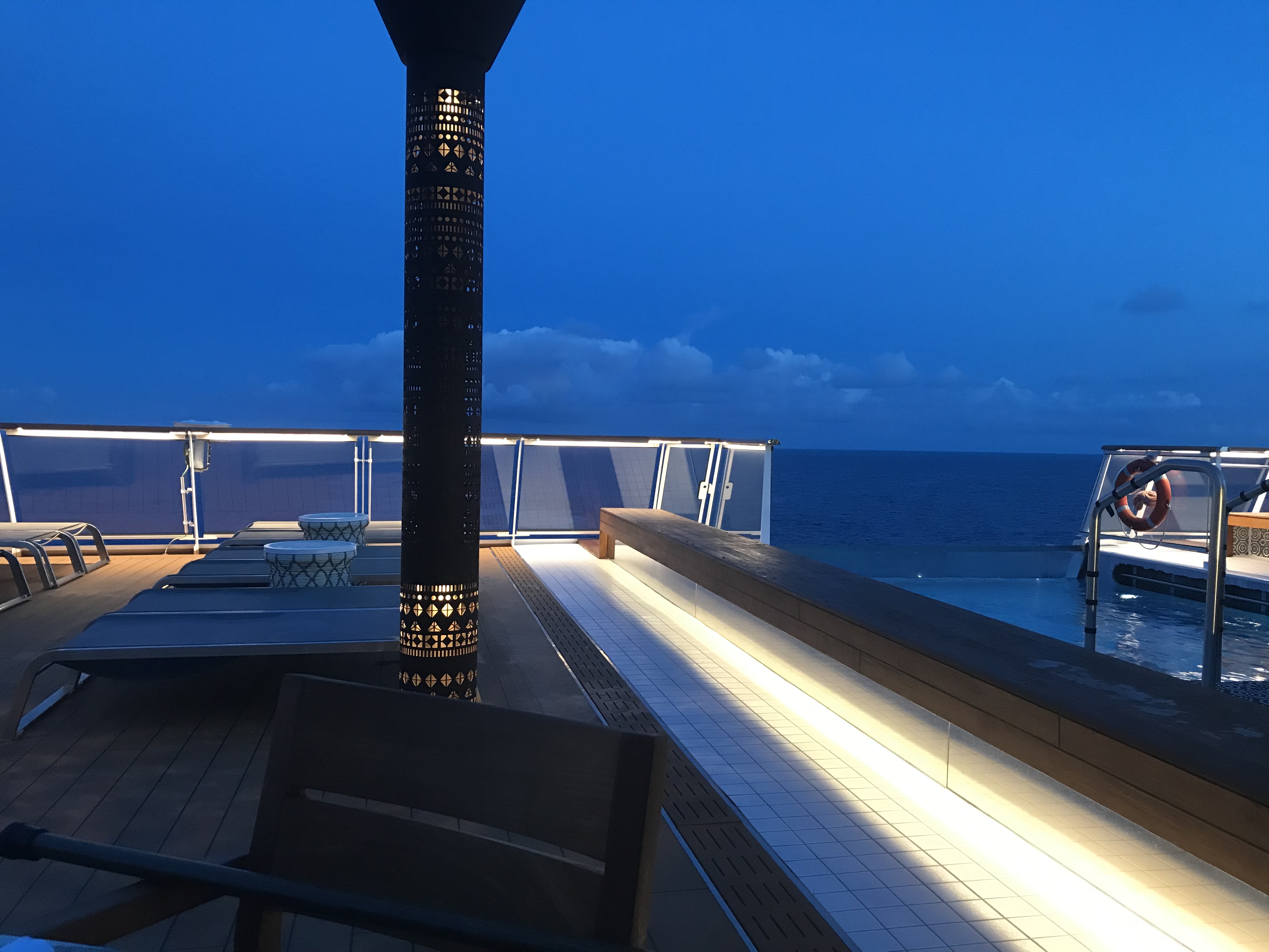
Dinner on the deck 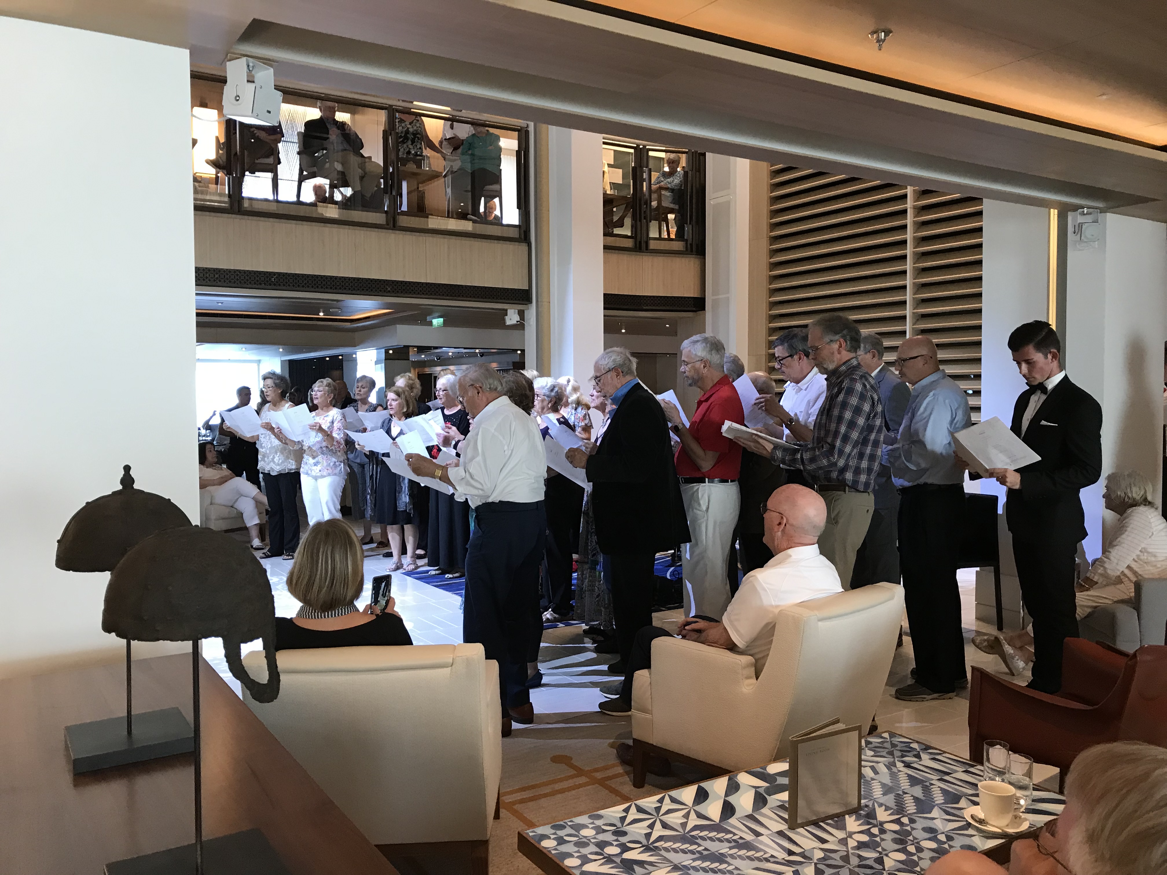
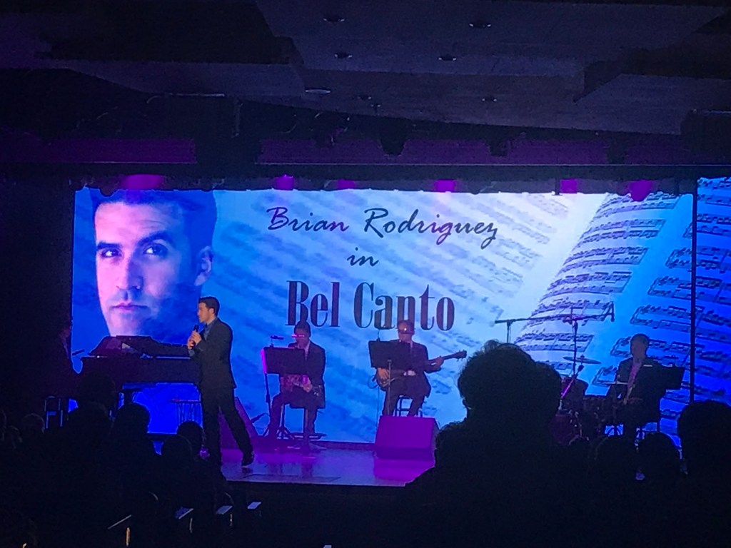
The Cruise Chorus 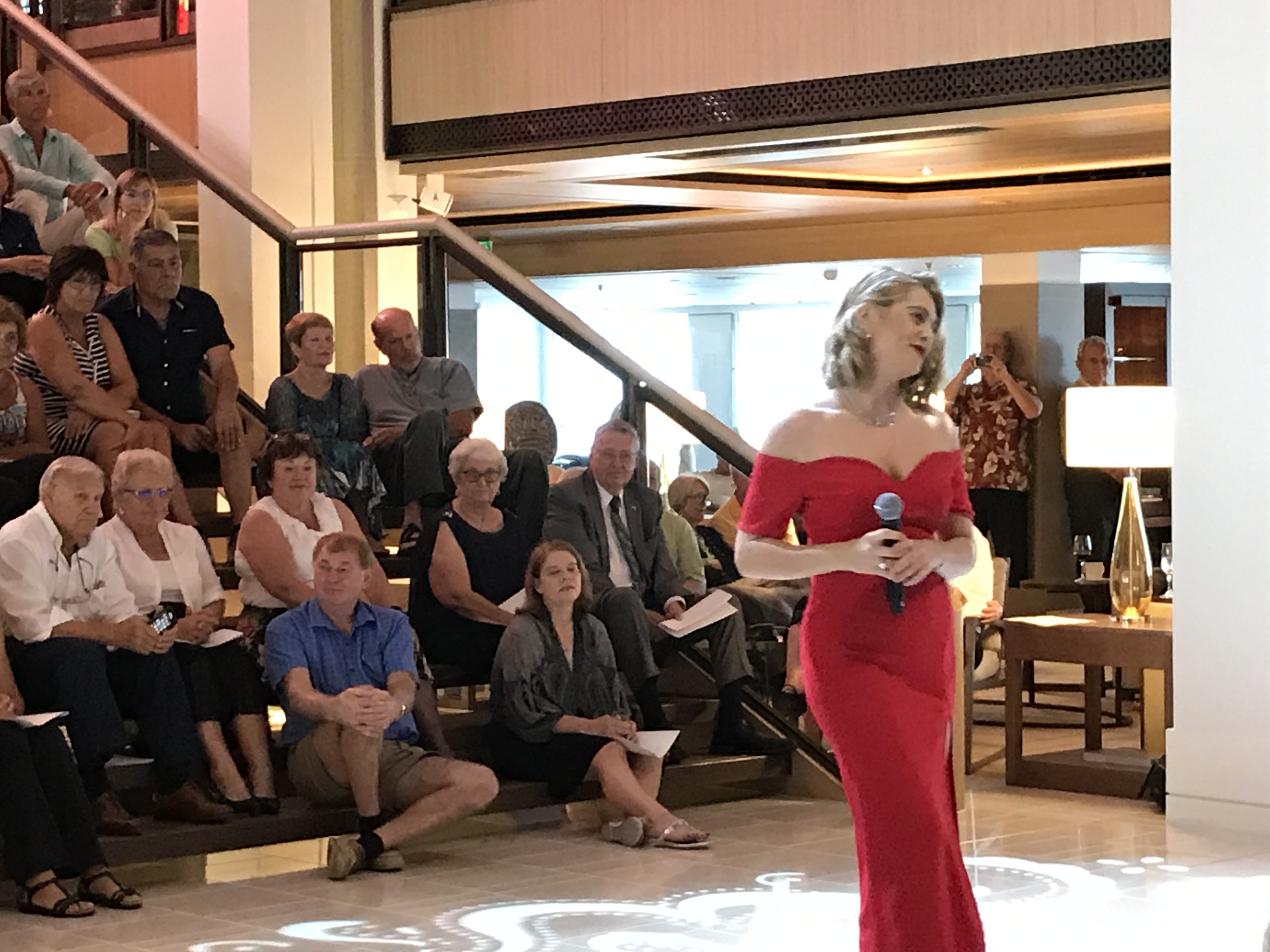
a singer and audience on the stairs 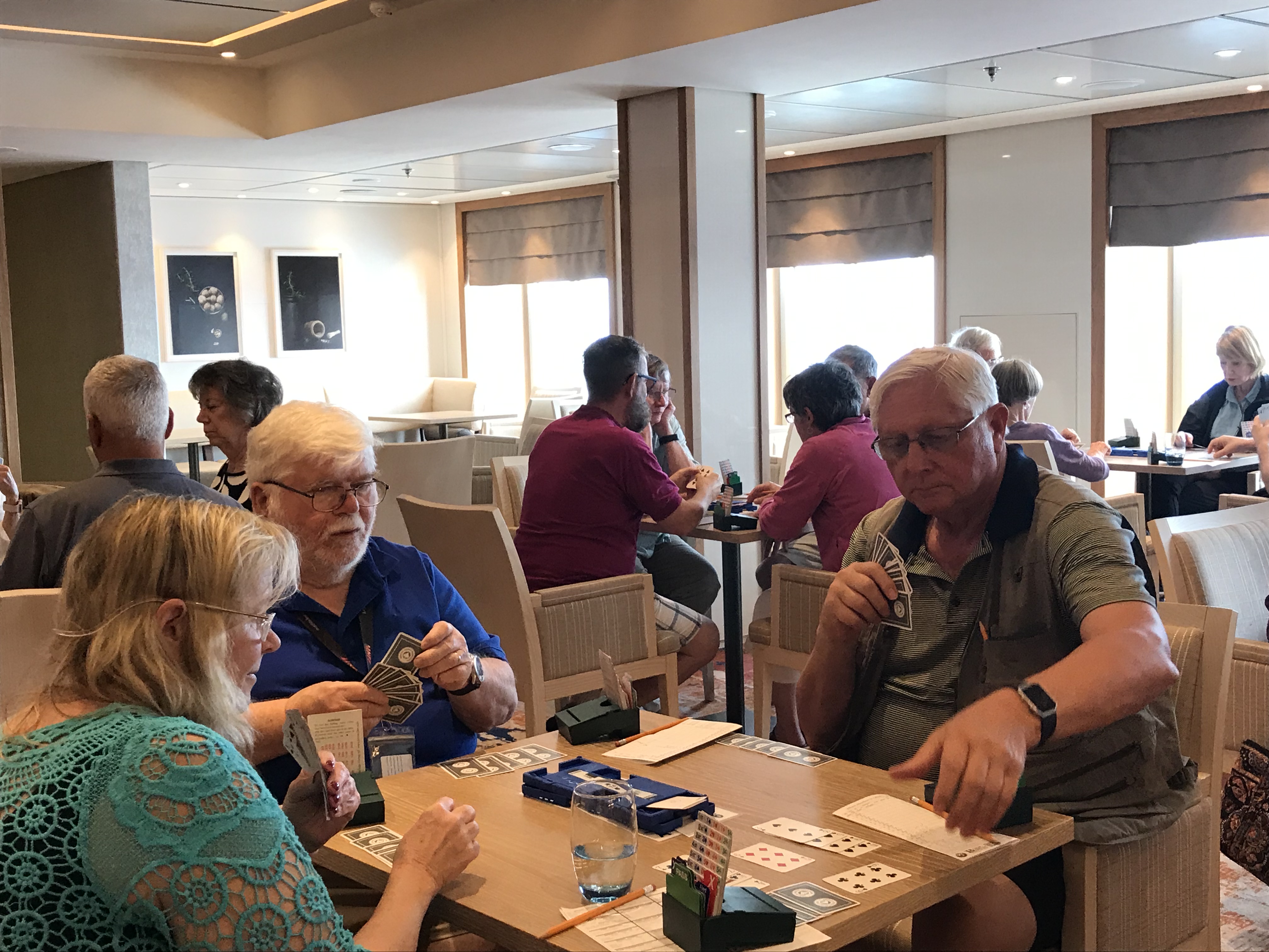
Playing bridge
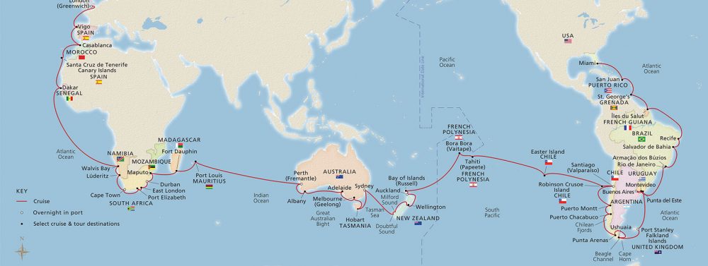
Easter Island is said to be the most isolated human community on earth–that is, the farthest from any other human community. I can certainly believe it from the time it took us to travel there from Robinson Crusoe Island (hardly a large community) and the several days we have spent travelling from there to French Polynesia. We have had several beautiful days on the beautiful ocean with temperatures in the high 70sand low 80s. Lots of bridge playing as well as other activities.
Time changes: early in the trip we moved our clocks two hours ahead; I still have difficulty accepting that even Chile is east of the eastern part of the U.S… Now we are heading west and setting our clocks back an hour almost every night. We have gained an hour 7 times putting us in Honolulu time or 2 hours behind Pacific time. This gaining an hour of sleep will, of course, continue, although not so quickly, since we are almost circumnavigating the world. To make up for it we must cross the International Dateline and lose a whole day. We will have no March 2 this year. Since that’s not my birthday, I’m not mourning its loss—I much prefer gaining hours of sleep. So far, I’ve enjoyed and made use of every one of them!
Friday morning I saw there was an aqua aerobics session scheduled for 7:30 and I figured that even I should be able to get up in time to make it given all the sleep I’ve had. It was great fun. The pool is quite small—especially with 17 people in it so the exercises definitely had to be in place. In addition, the swell caused the water to go energetically from end to end–and over the end and return as a waterfall. I figured the pool just wanted to join in the fun!
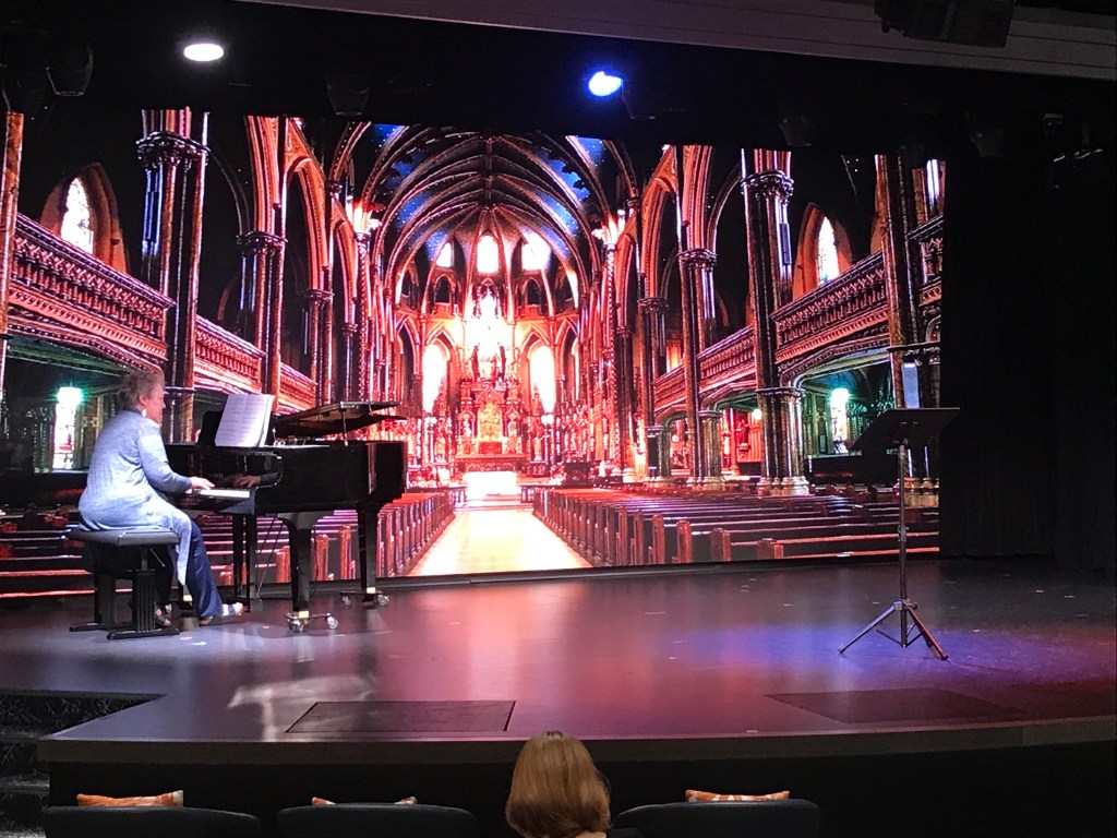
There have been a few shows at 5:30, which suits our ‘retirement’ time better than 9:15. One was a concert by the ship’s instrumentalists and vocalists. I could tell they were really good, and other people were exceedingly enthusiastic, but the sort of music—all I can think of to call it is night club music—isn’t really to my taste. They and the Cruise Chorus did a second concert I enjoyed much more of songs that had won Oscars over the years. Then, of course, they showed the Oscars Sunday afternoon. The concerts were held in the Atrium where the grand staircase miraculously becomes stadium seating (as you can see in the photo)
I was really impressed by the magician of card tricks; it was absolutely amazing what he could so with cards! He was on stage with a few volunteers and they also projected the table where he was doing the tricks onto the big screen. At the low end of the scale, as someone who shuffles a lot of decks of cards while playing bridge, I was impressed that he could shuffle a deck ‘perfectly’—that is interlacing one card at a time from each hand—in less time than I can shuffle a deck very imperfectly.–Cynthia
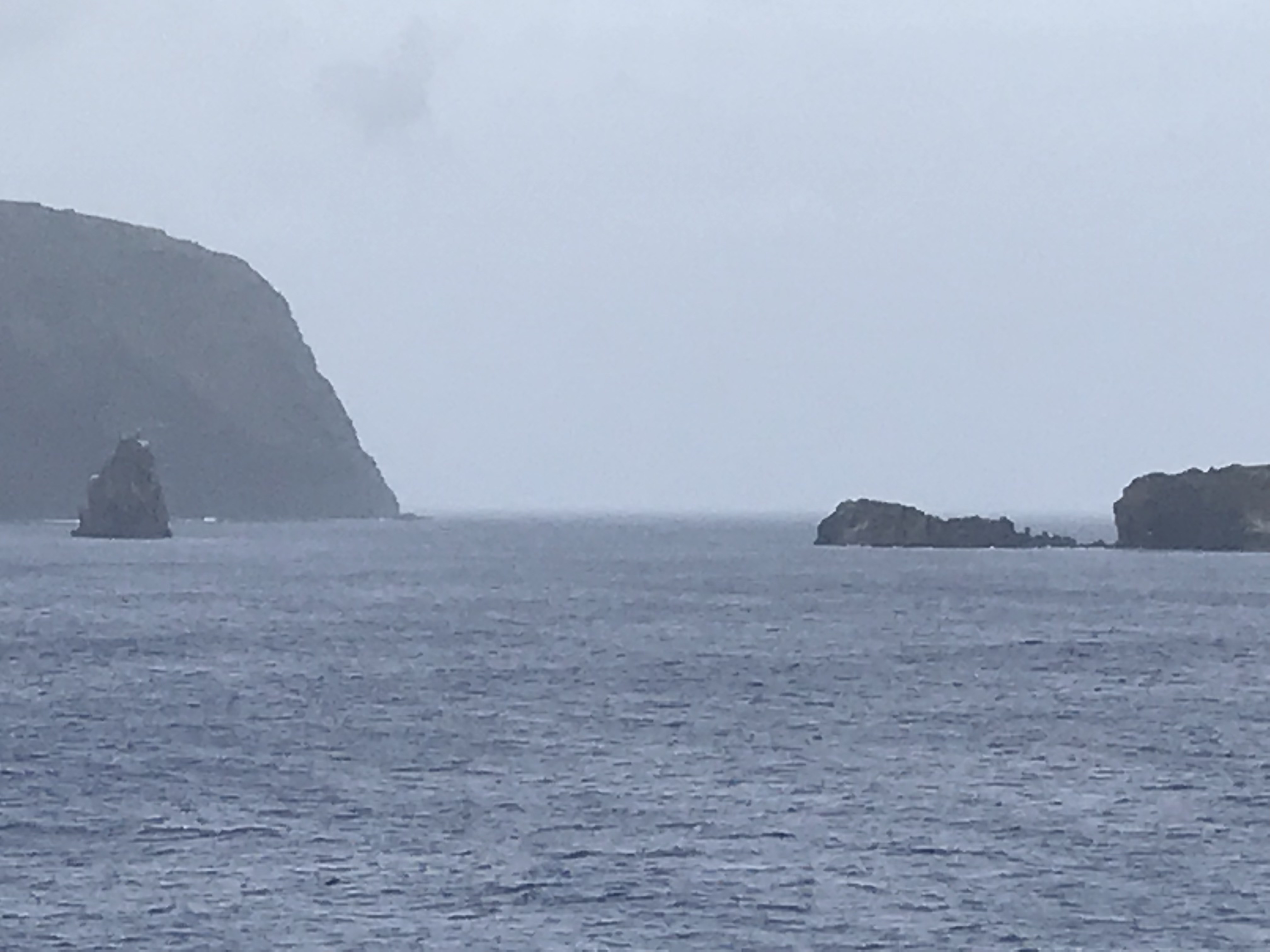
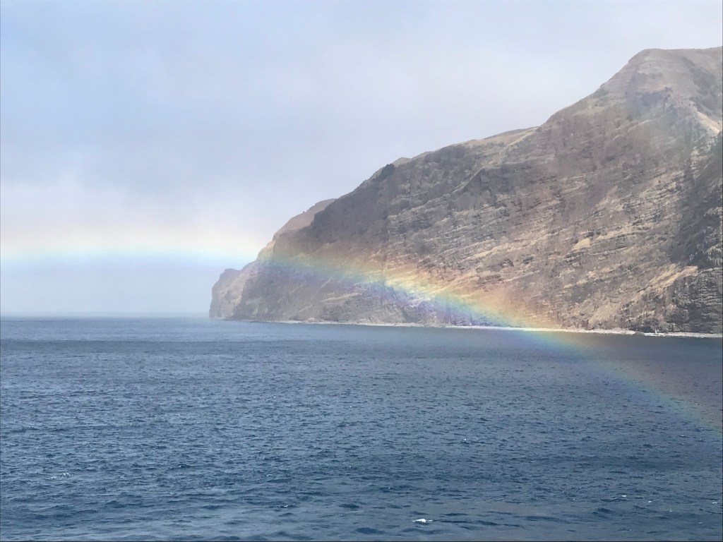
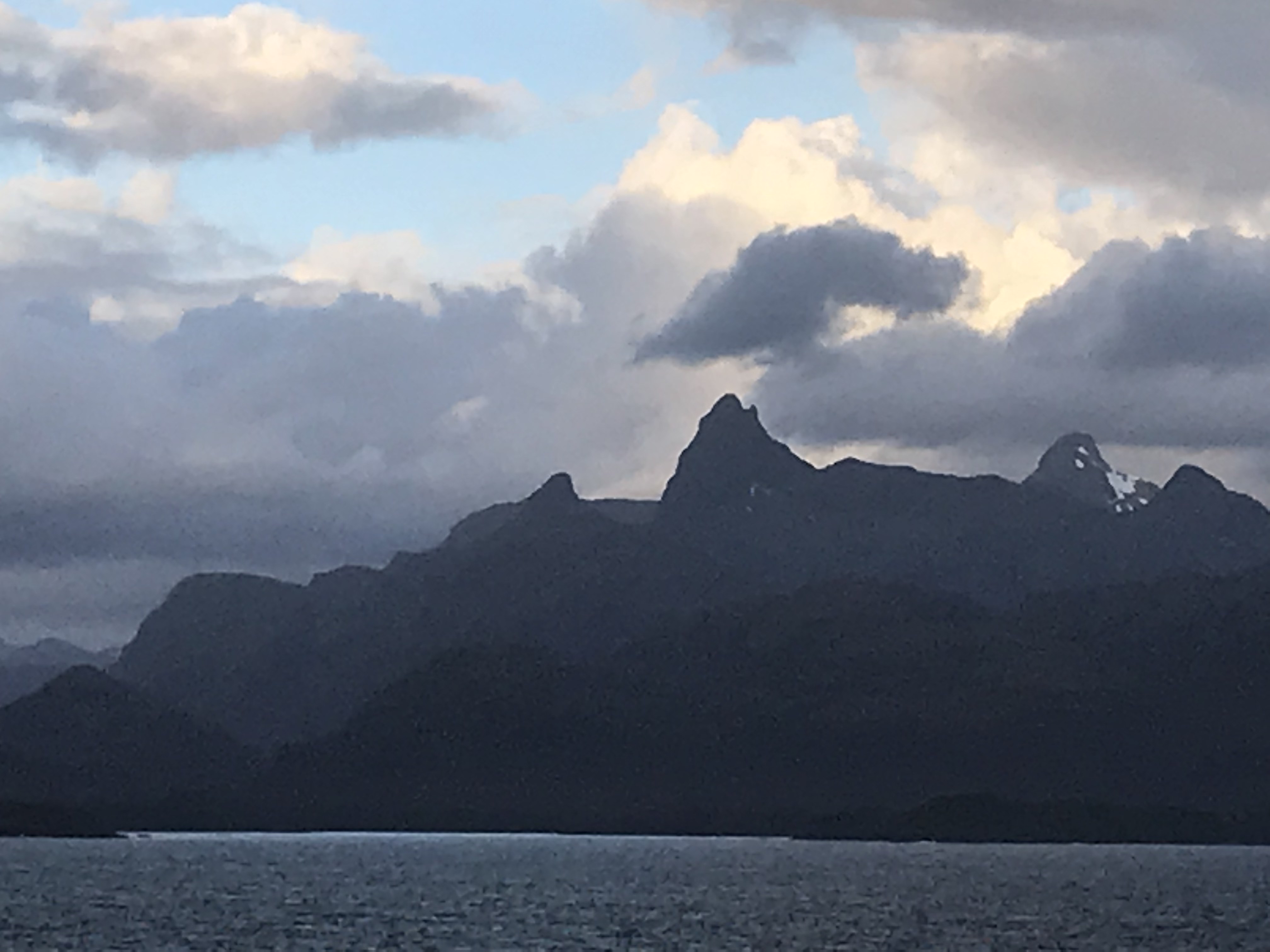
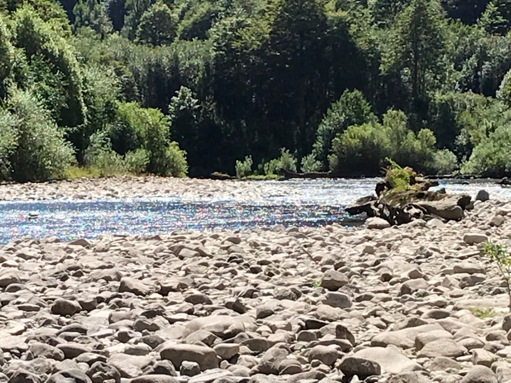
Pacific Ocean Swells. For several days we have been moving west across the Pacific from Robinson Crusoe Island towards Easter Island and the group of islands historically called “Oceania” and politically, Polynesia… and the Pacific has not been placid; certainly not pacific! Not, mind you, has the sea been rough; it hasn’t been, but the absence of wind-blown, white-capped waves that signifies roughness for those used to the Atlantic belies the underlying presence and effect of ocean “swells”.
When viewed from above, swells are not so evident, but from windows along the lower decks, their height can be more evident. Every noon during his verbal snapshot, the Captain provides the sea (or swell) height in meters, which usually range from 1 to 4 meters (3 to 13 feet). Swells are less evident than waves because their high and low points are much further apart than their white-capped, wind-tossed relatives: large swells are said to have long “periods” (or lengths between successive highs). These less evident ocean wave forms may have had their origins as far away as Java or other parts of SE Asia; so they have had time and space to “swell” as they move towards South America. (More subtly, of course, their behavior like the tide is also affected by the pull of the moon.)
As far the the Viking Sun is concerned, swells produce a side-to-side rocking motion when the ship is traveling across their direction of movement, and the ship seems to move like a large porpoise when it meets the swells head on. Mostly, swells seem to strike the ship obliquely, and the ship responds with more of a cork-screw motion. Whatever the motion, the ship’s behavior seems very comfortable at night when one is abed and sleeping and is very destabilizing during the day when one is trying to move about. The ship’s behavior seems to have little effect on the crew, fortunately, and I marvel, for example, at the ability of café staff to carry large trays of dishes amidst staggering diners or the Cruise Director to move graciously along in her 3-inch heels whatever the motion. Under similar conditions I mostly feel as if I have had a drink too many, and I usually require assistance while attempting to carry a single meal plate in the World Café.
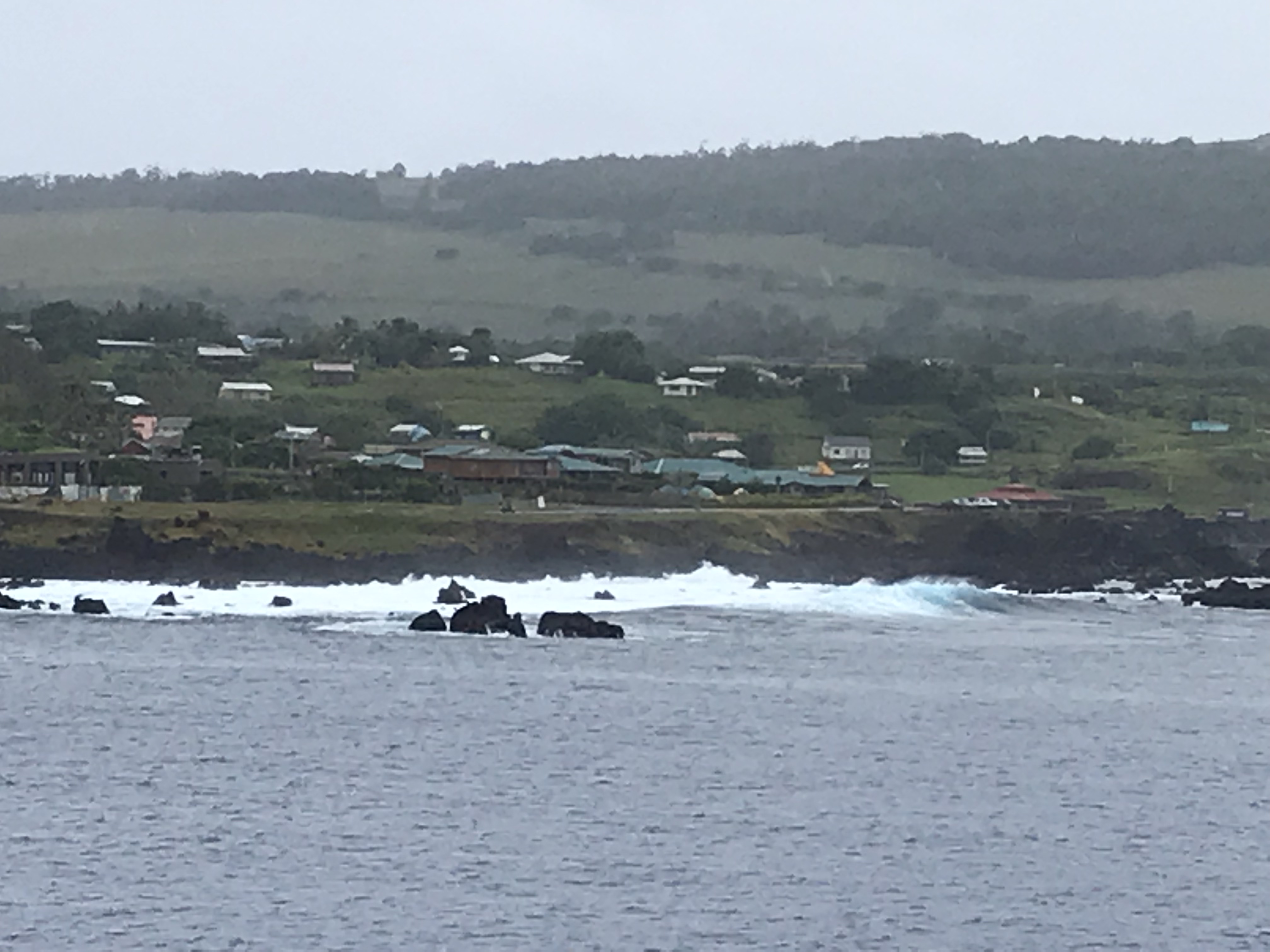
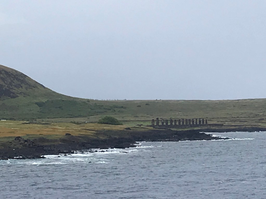
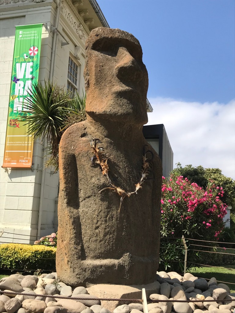
Several days ago, the sea around Easter Island seemed calm, almost placid. No sign of waves or swells… until one glanced at the rocky shoreline and saw (and ship’s tender was awash and tender and platform bounced drastically out of synch with one other. The captain judged the sea too rough and hazardous for landing passengers, so instead we circled the island and viewed a few Moa (large, carved megaliths) from off-shore (see picture above Cynthia’s comments). Disappointing, but the ocean is what it is!
About 15 years ago I recall visiting the Smithsonian Institute in Washington, DC when a traveling exhibit of Polynesian “maps” or stick charts were featured. At first glance these resembled fragments of badly woven pieces of floor mats or baskets. The exhibit narrative convincingly explained, as I recall, the strands of these pieces represented Pacific swells and the nexus of two crossing strands represented a major change in the direction of swells. SometImes Cowrie shells were included to indicate the location of islands. In other words, these were navigational charts. When combined with stellar constellations, Polynesians used navigational charts to explore and colonize the numerous but often widely scattered islands of the southern Pacific, including Easter Island, sometimes crossing distances of a thousand miles or more. Check Google for an introduction—http://thenonist.com/index.php/thenonist/permalink/stick_charts/. —Chris