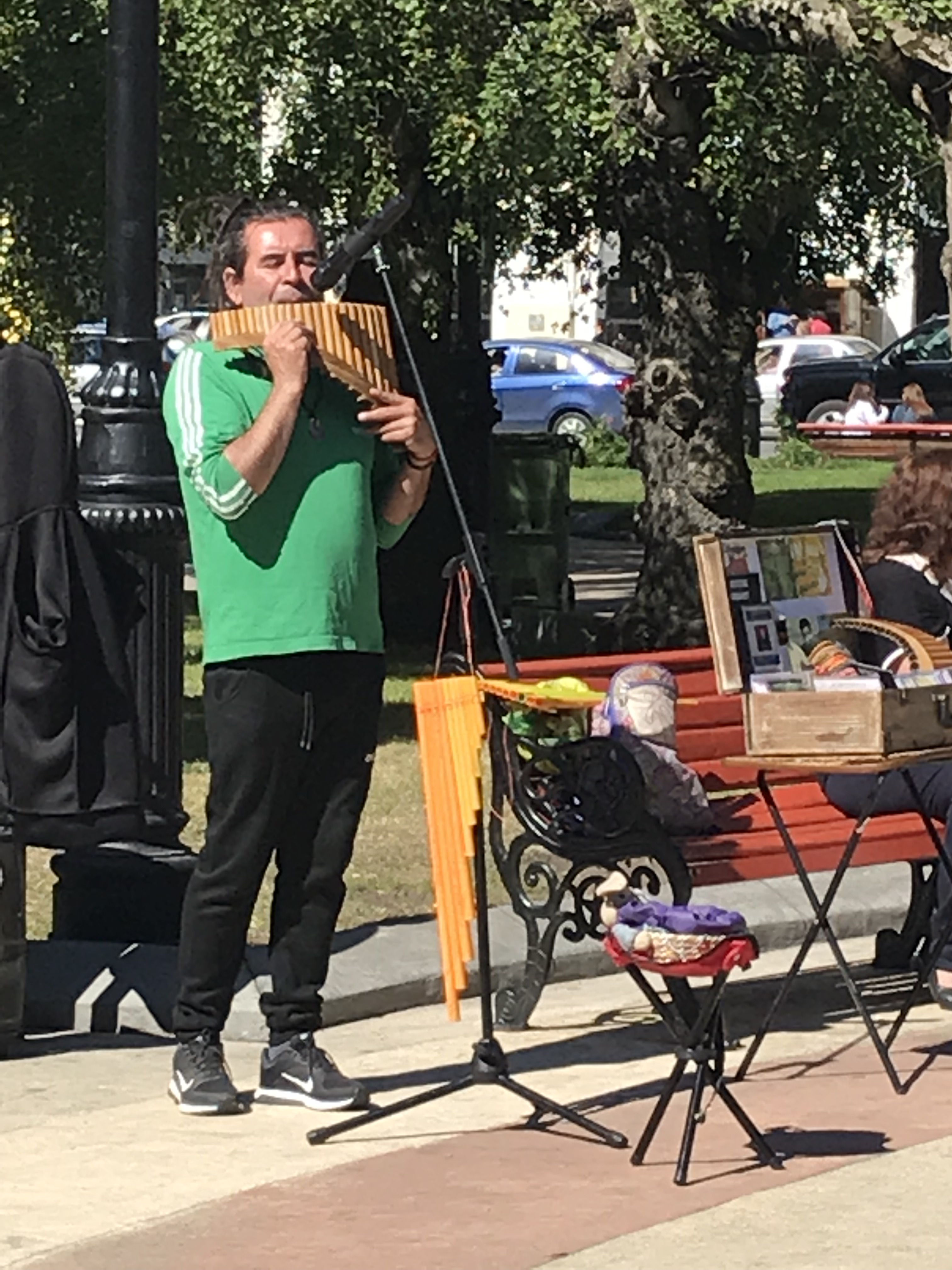
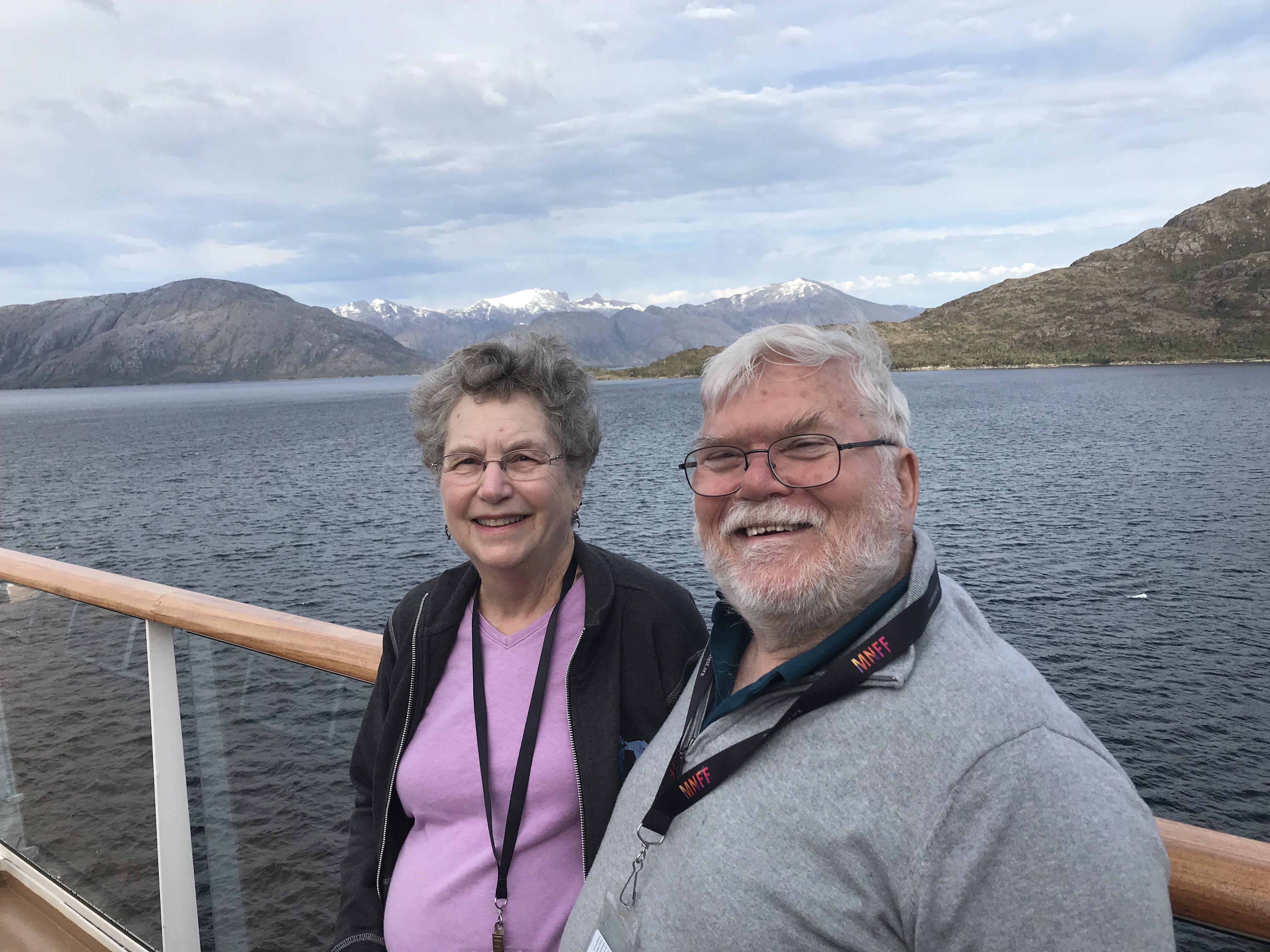
Chris & Cynthia 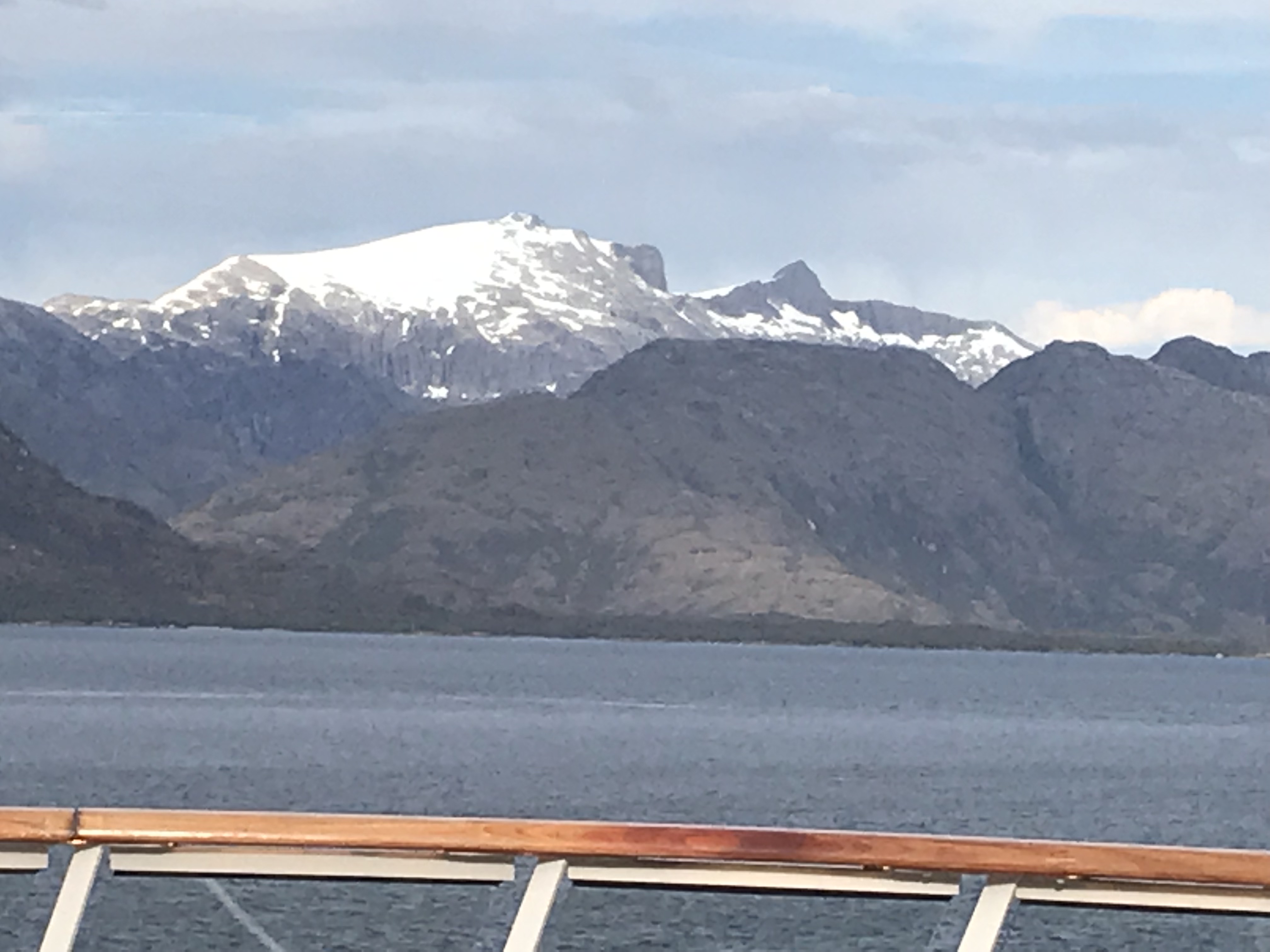
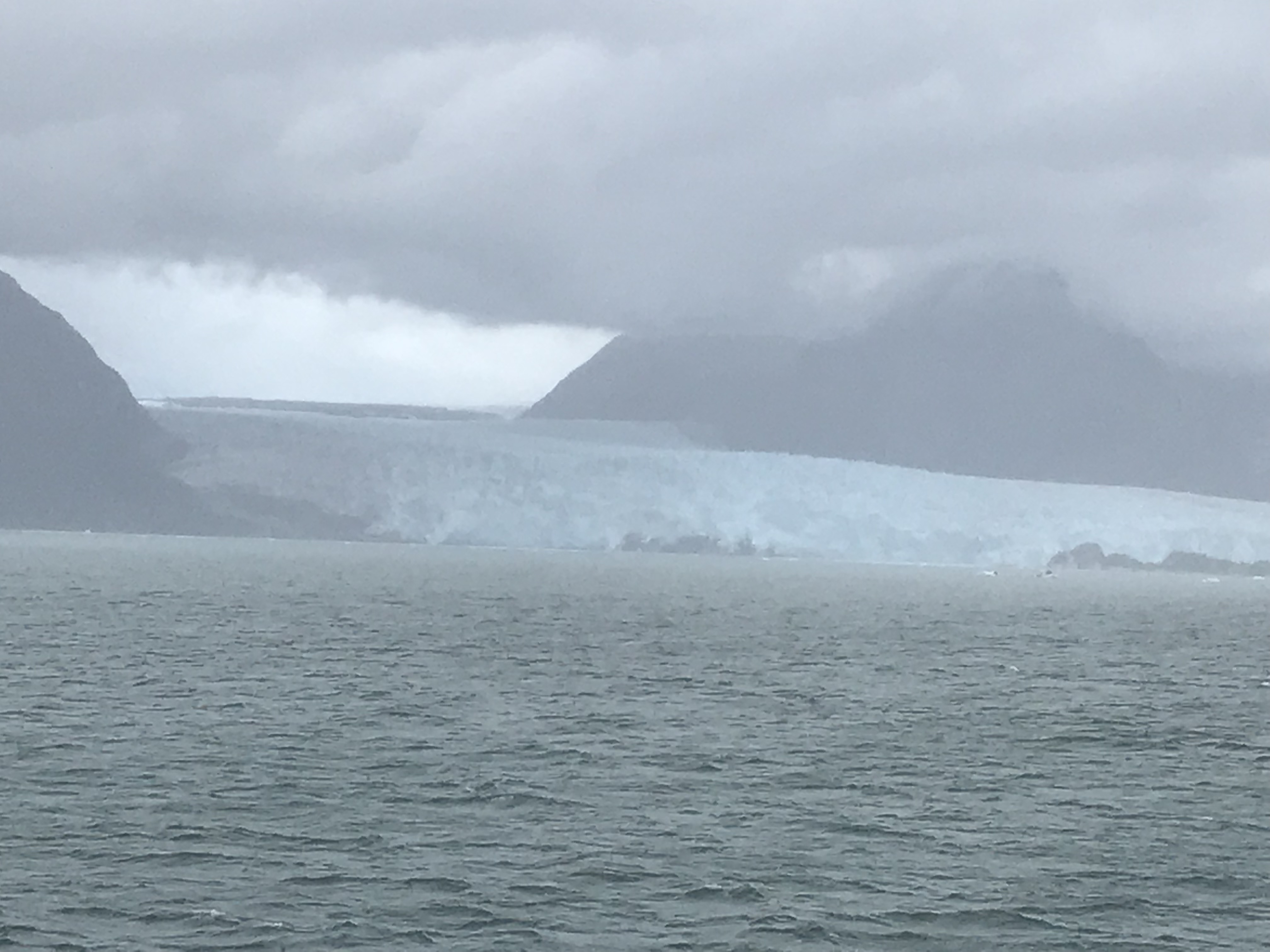
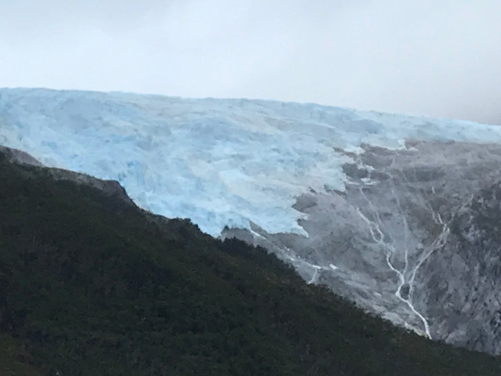
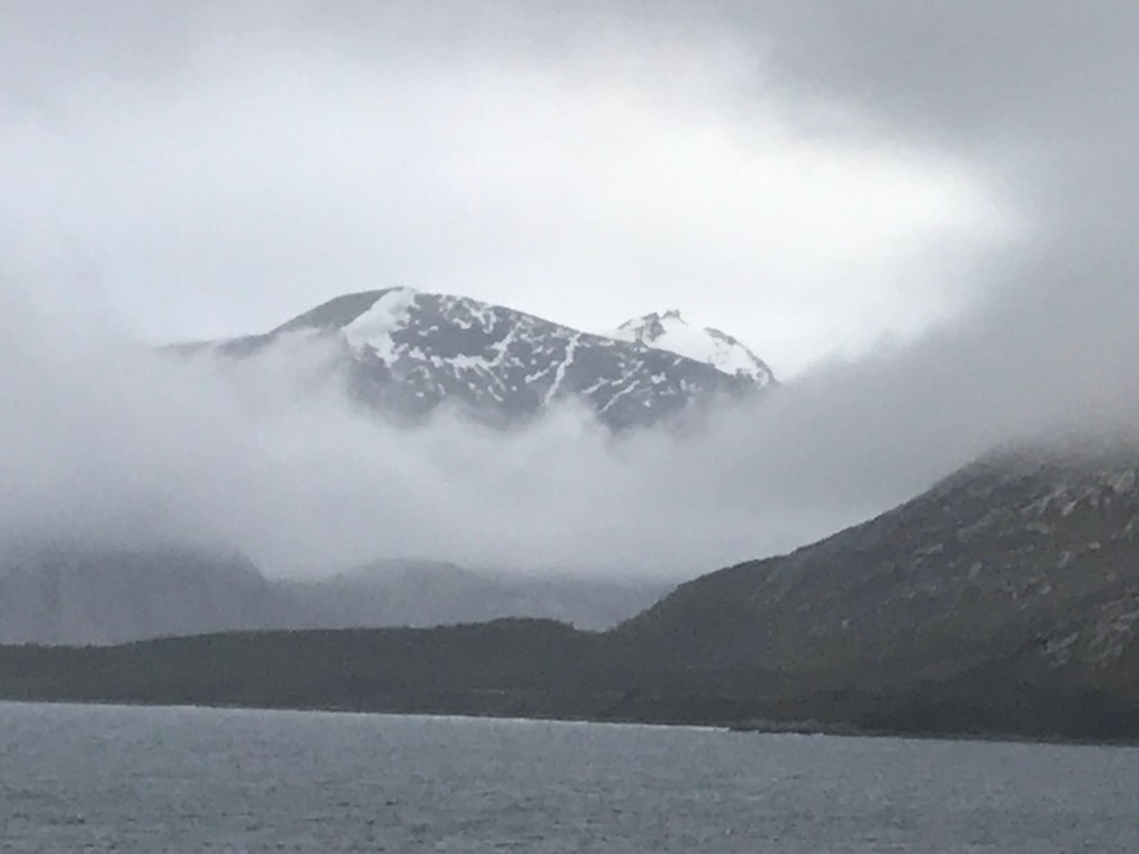
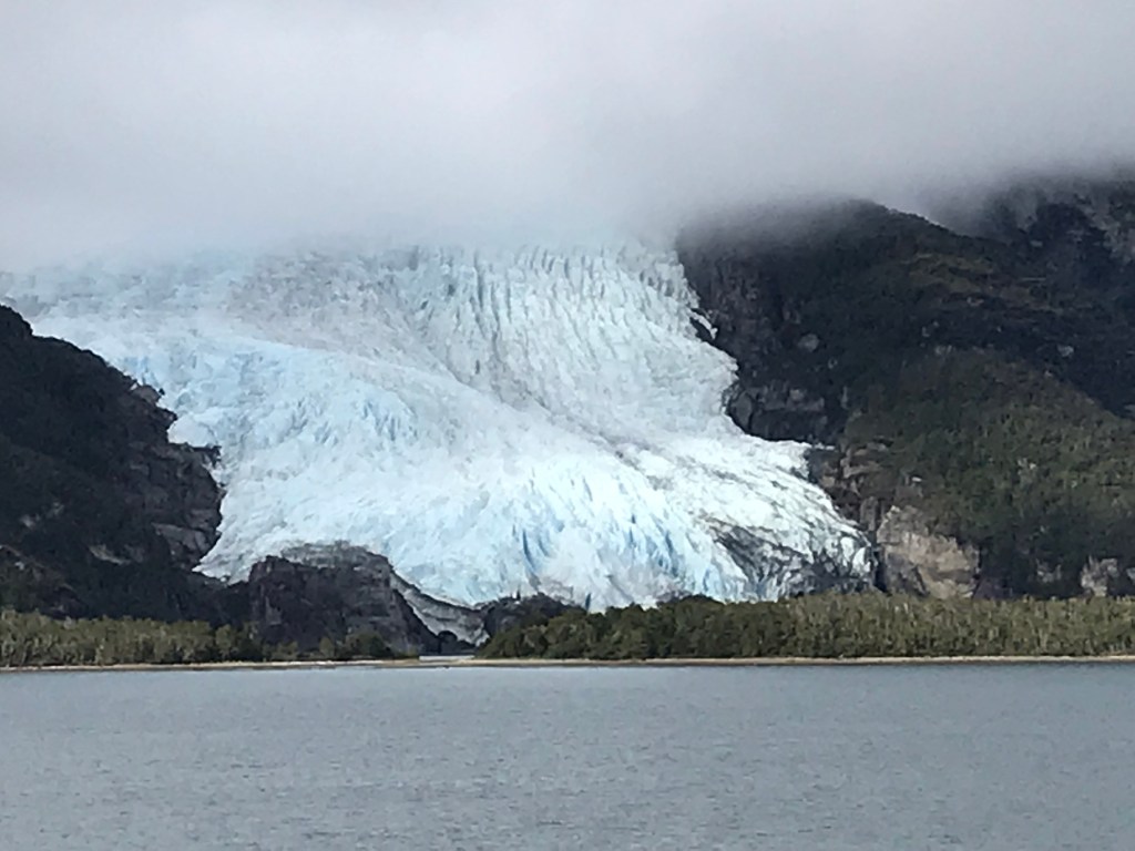
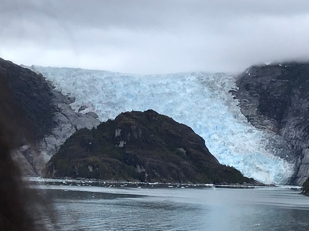
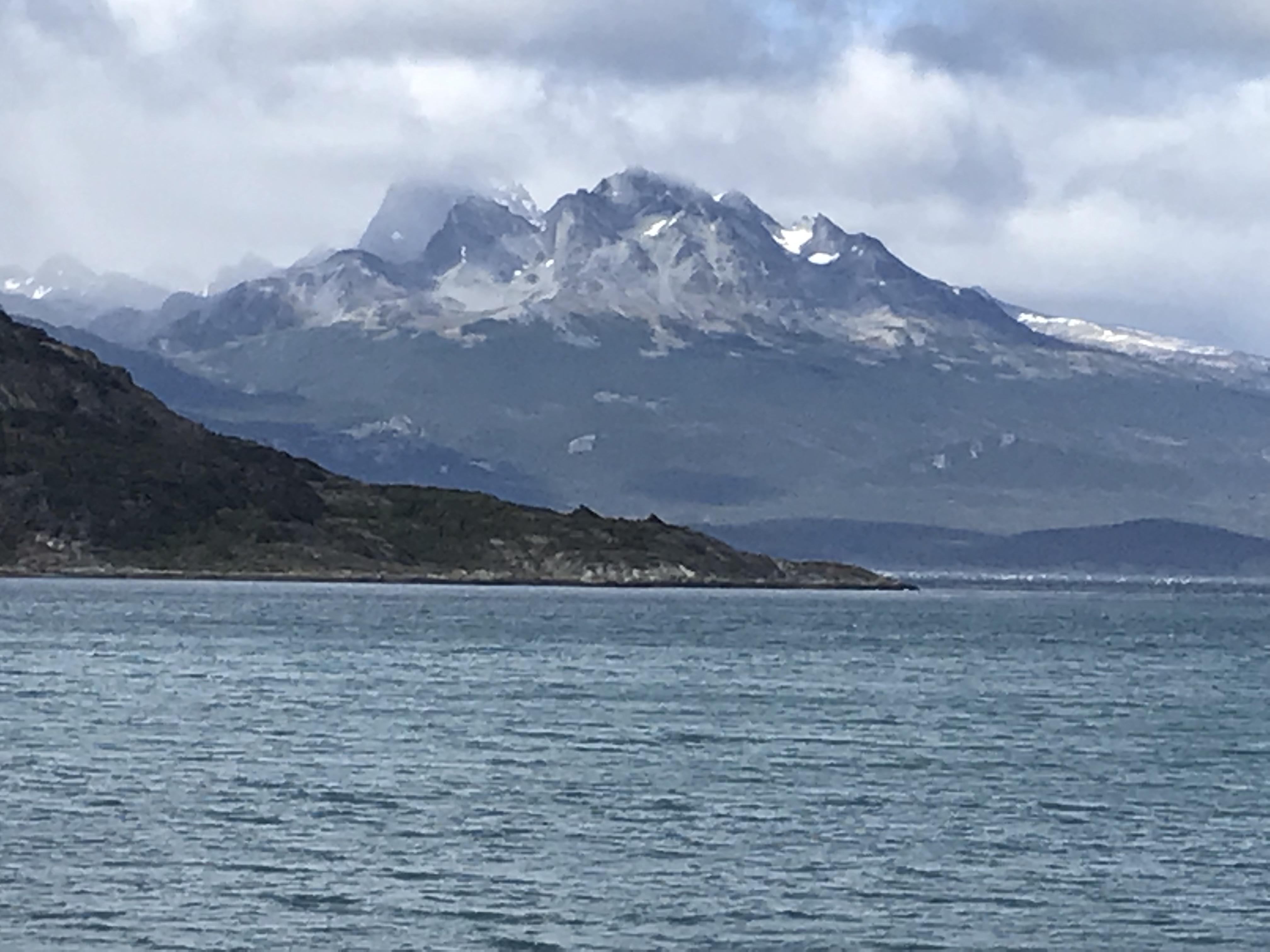
Glacier in the fog 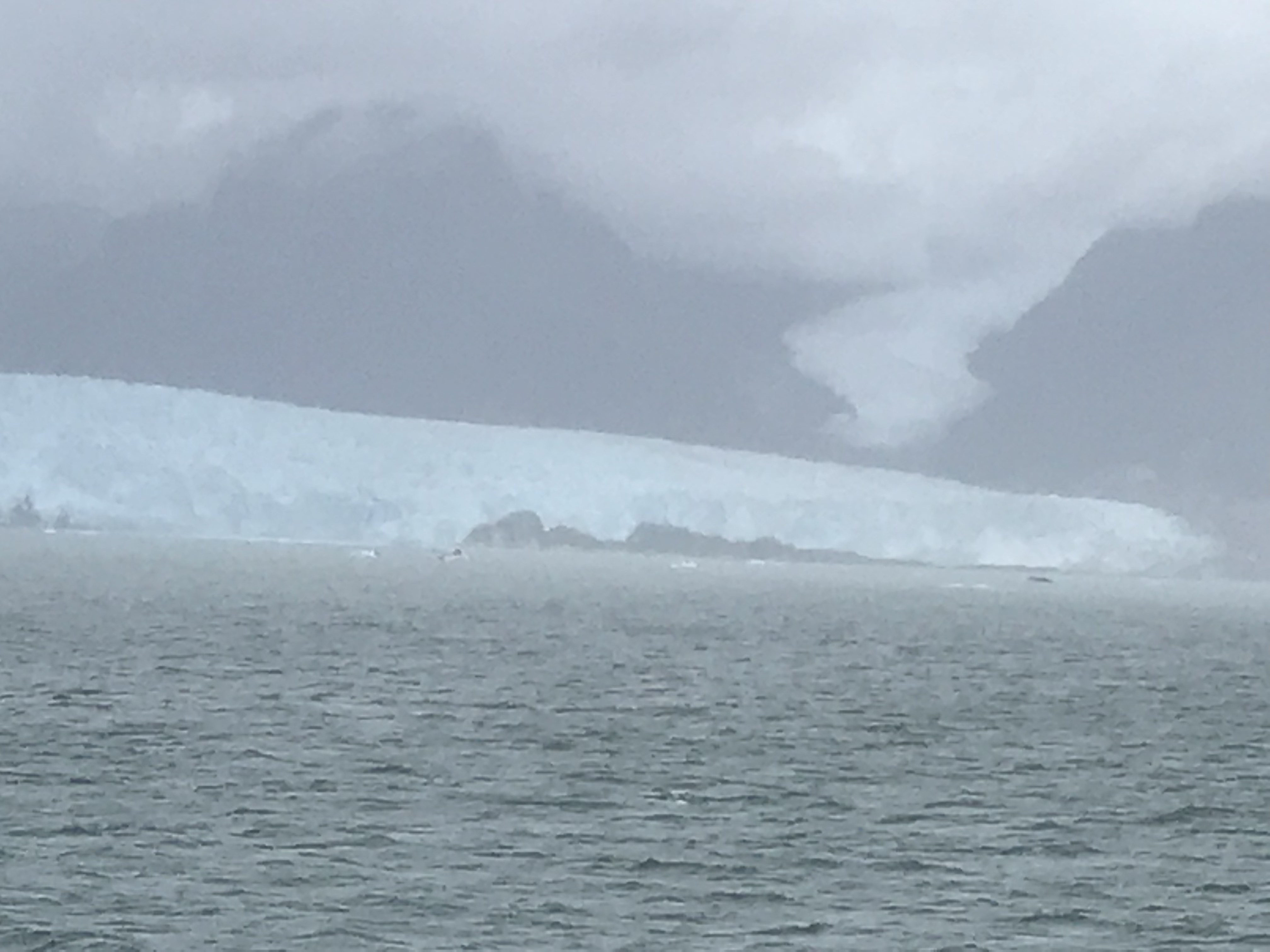
Glacier in the fog 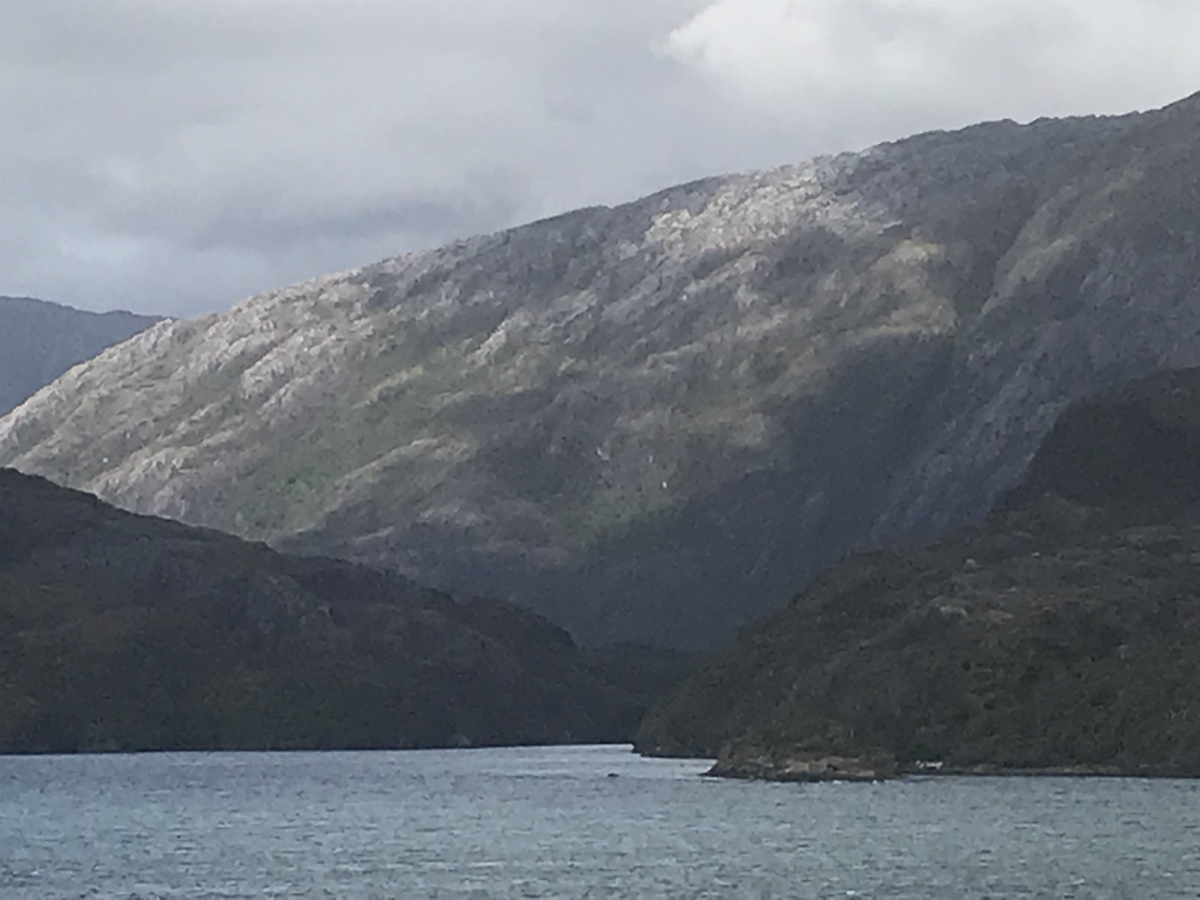
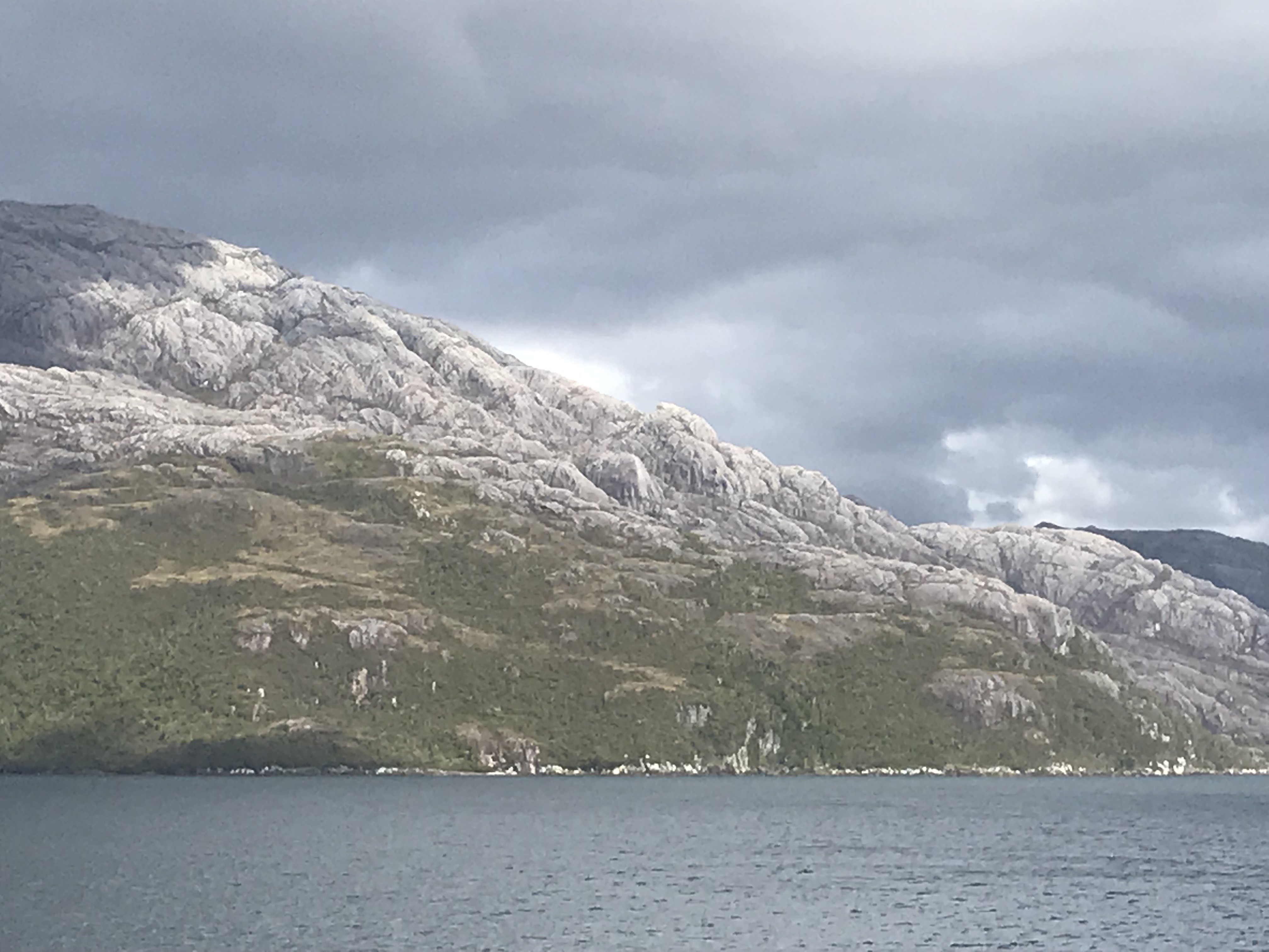
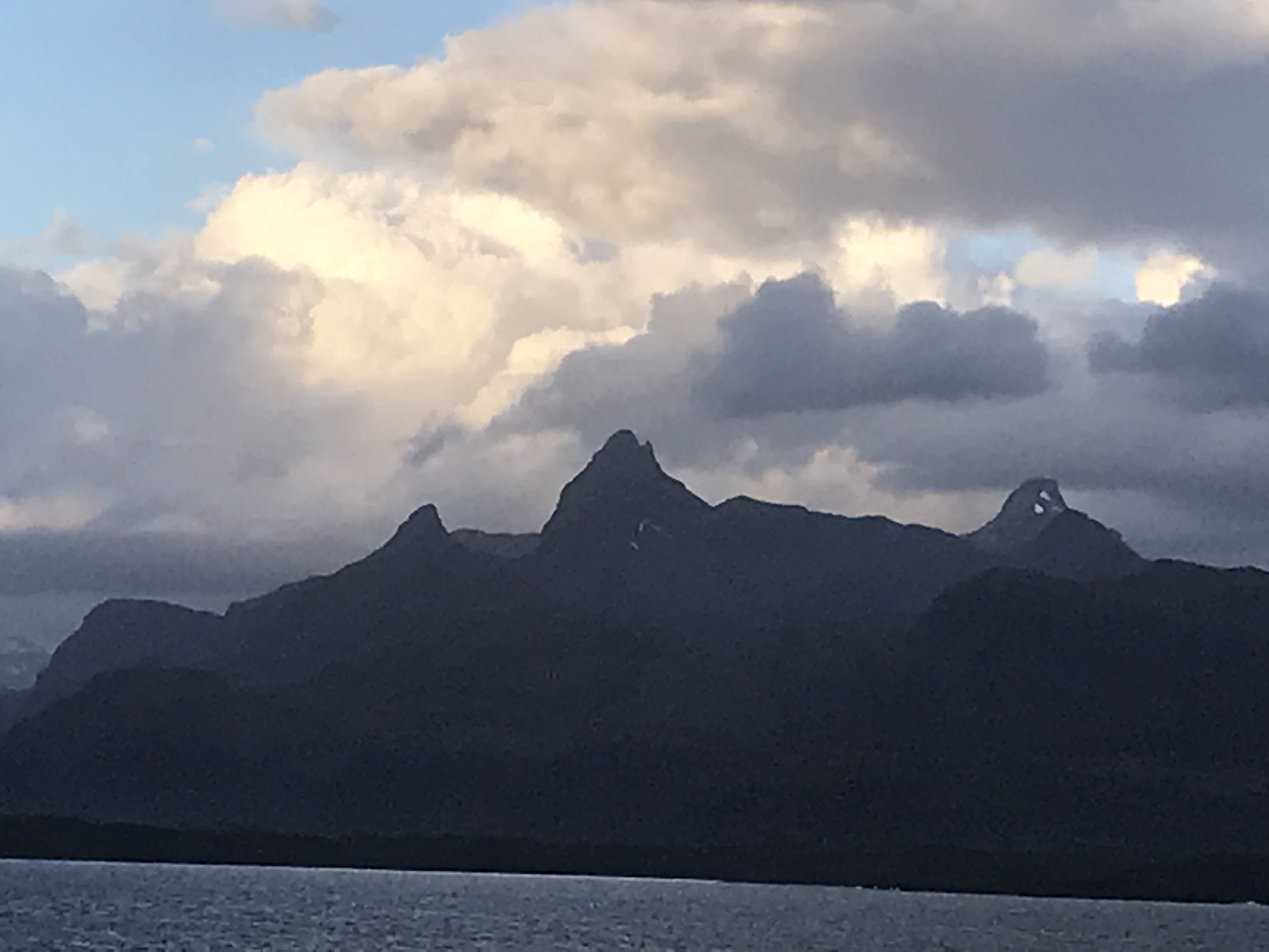
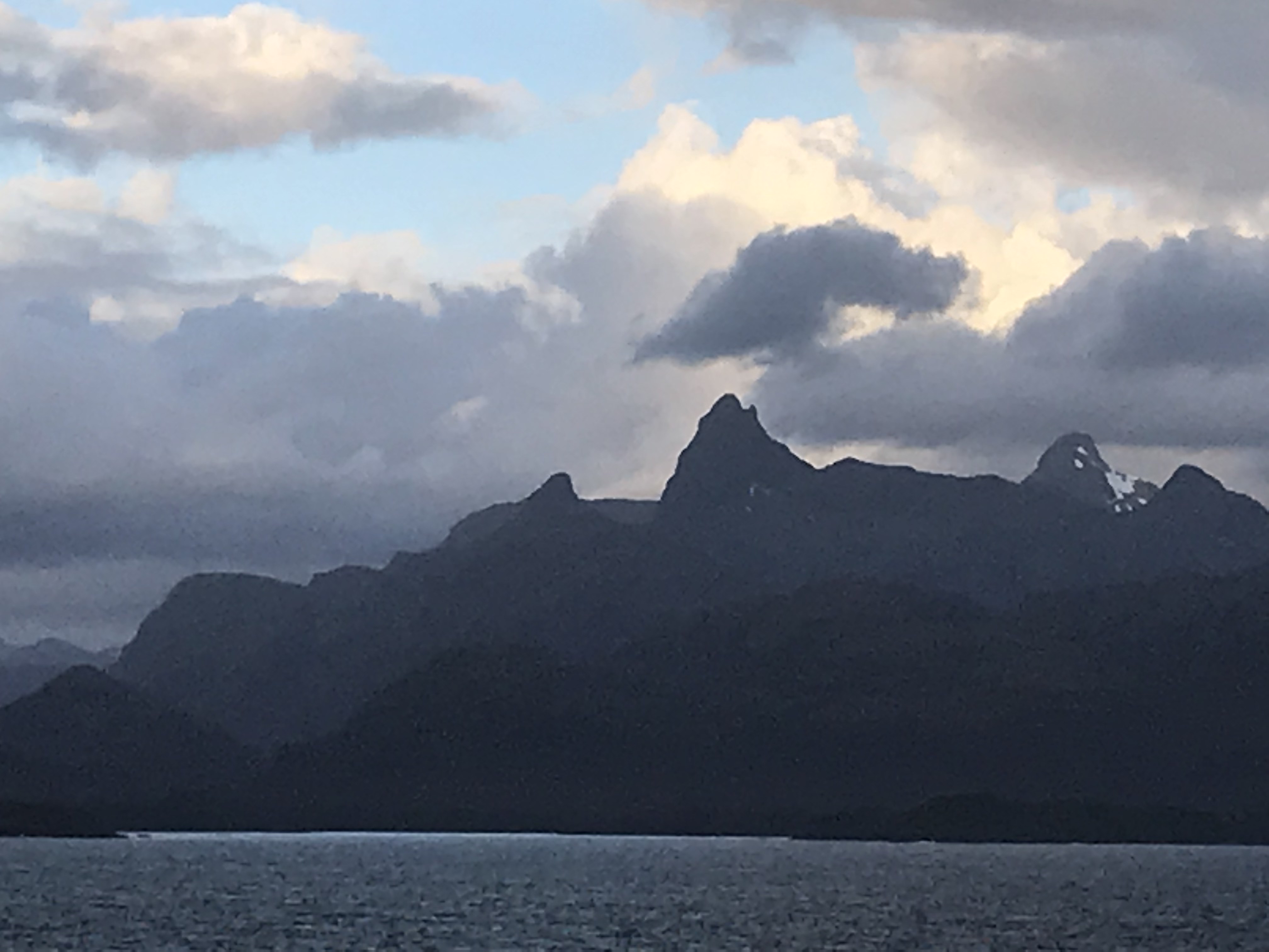
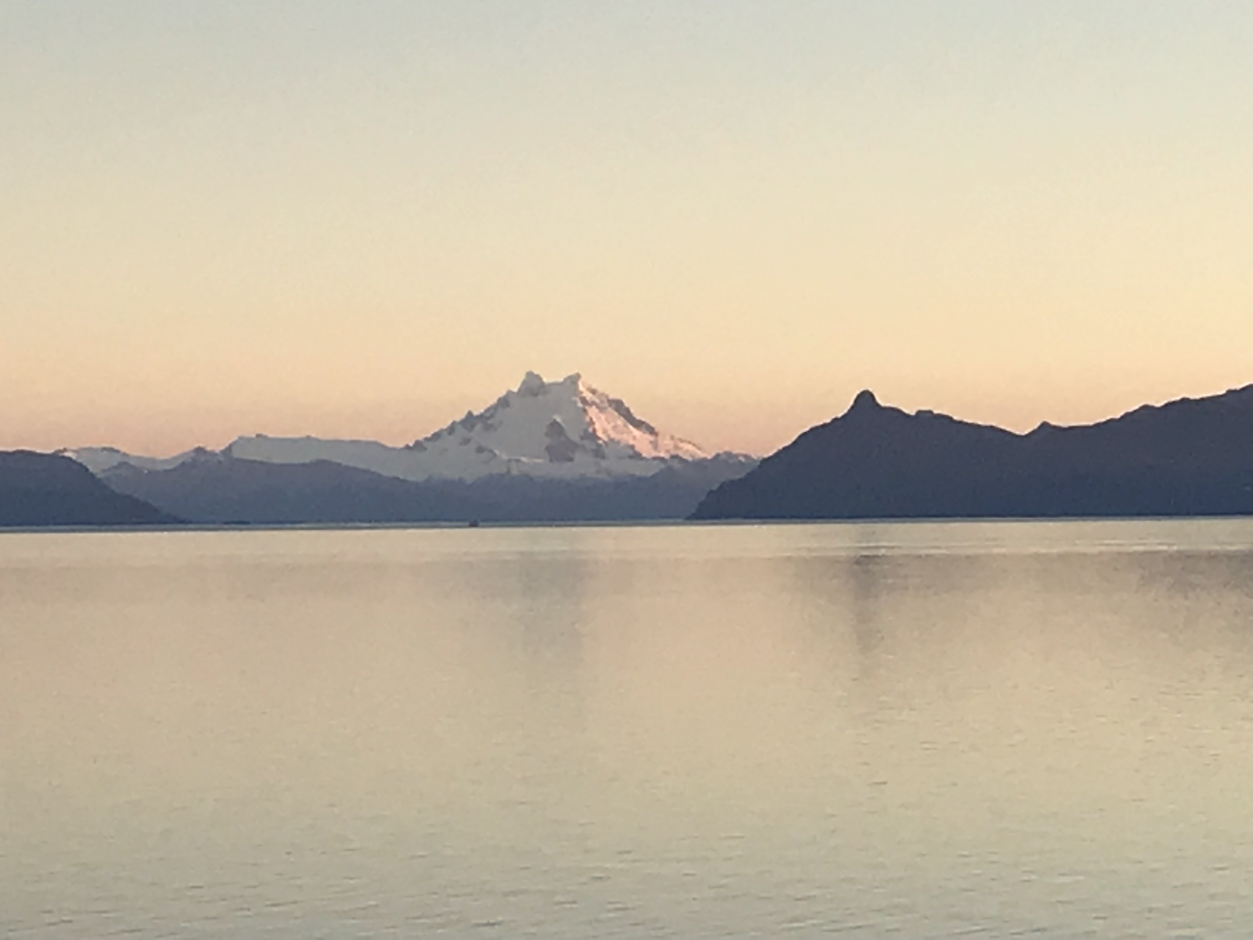
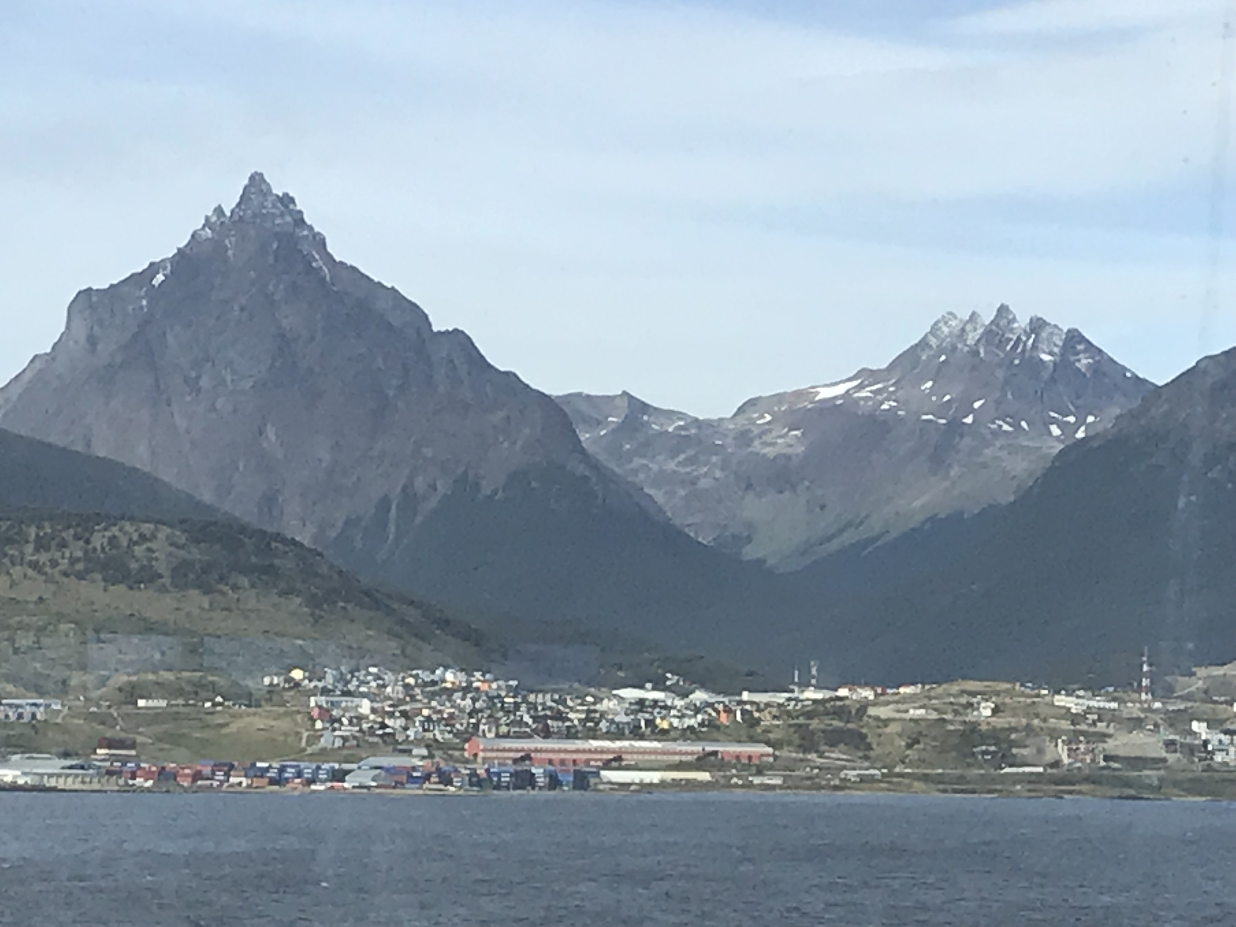
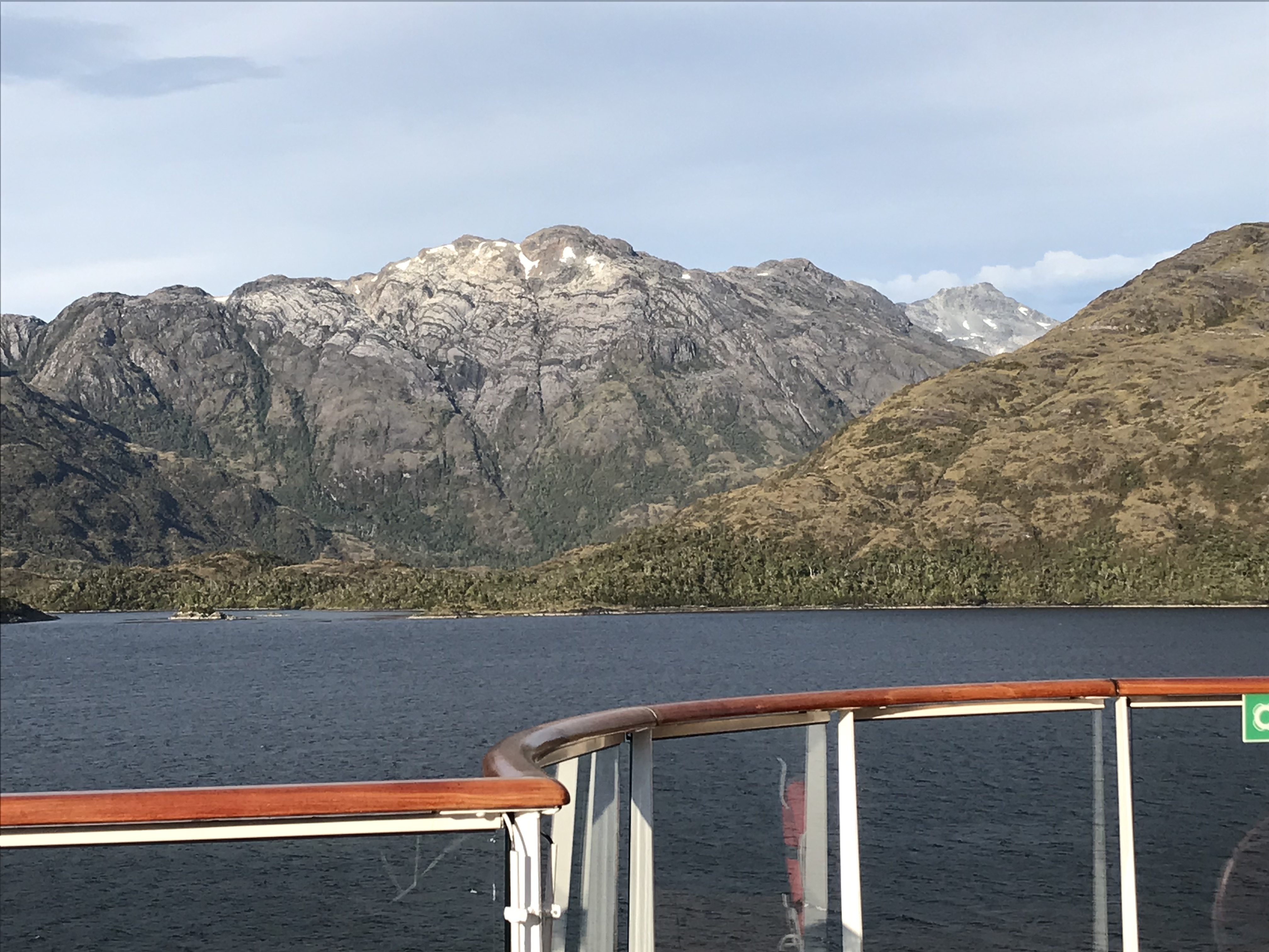
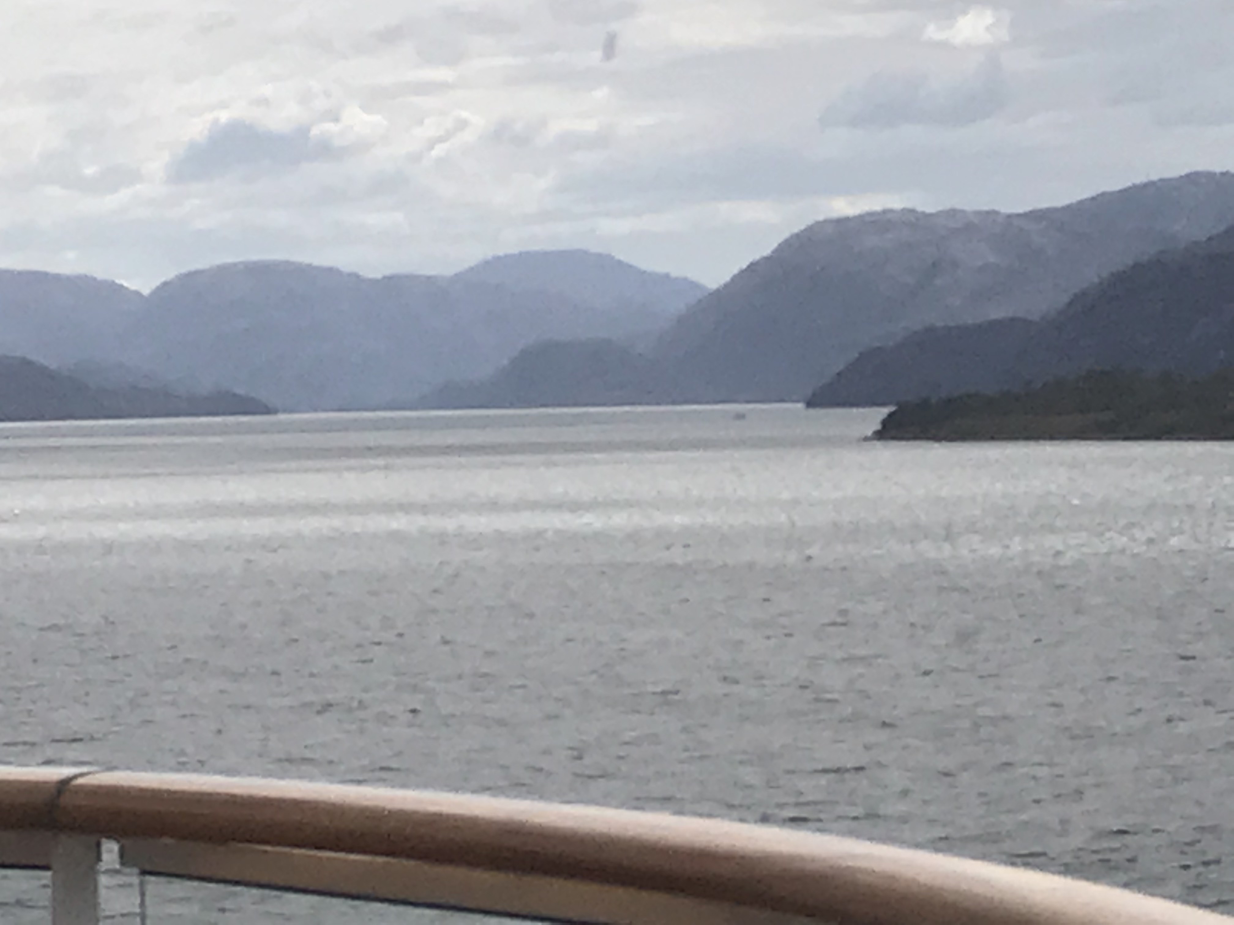
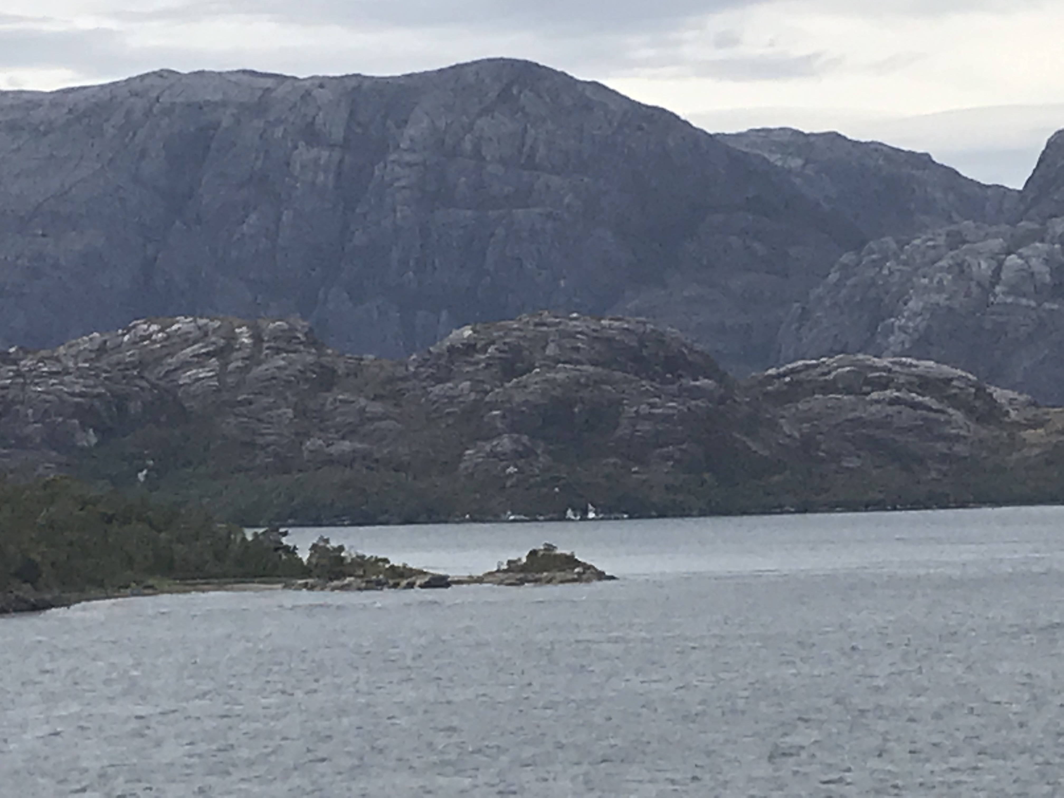
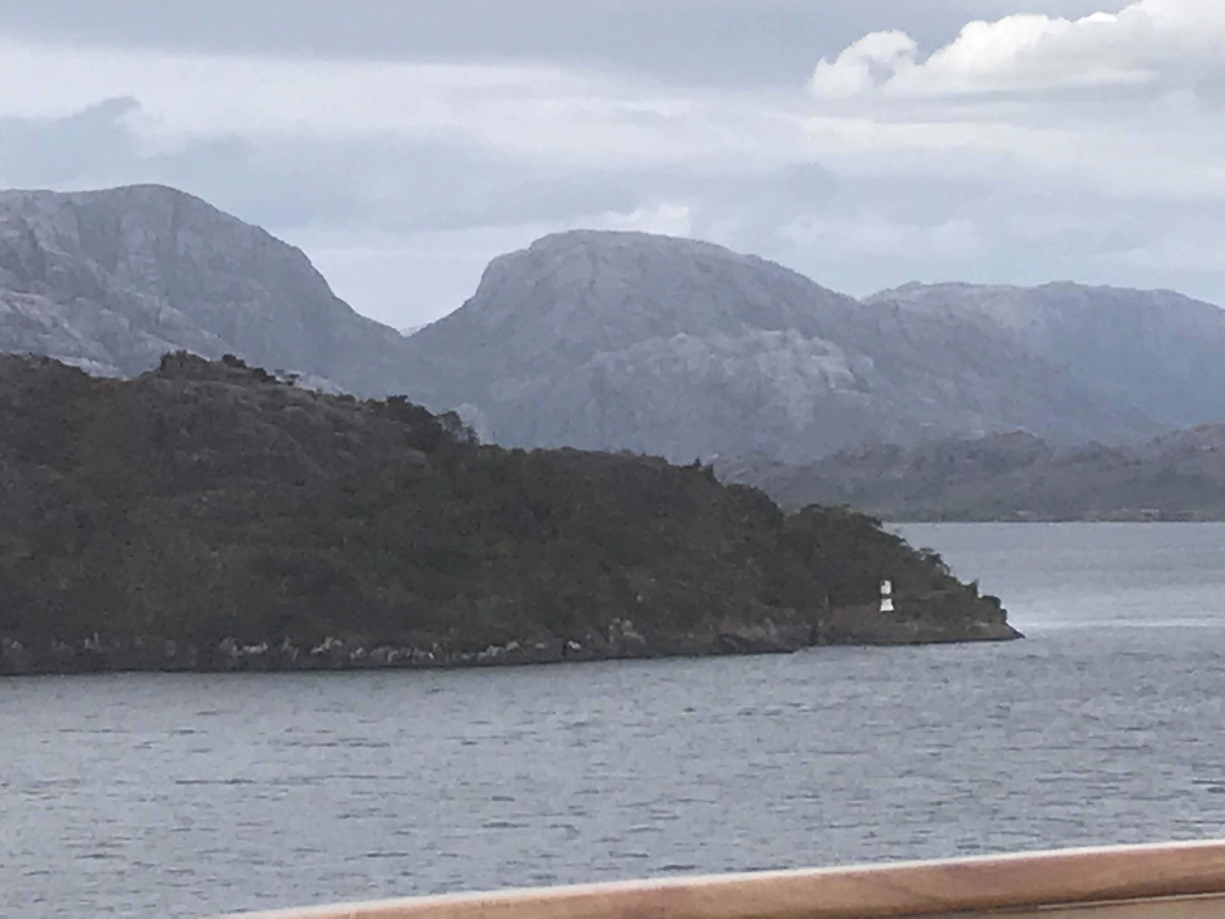
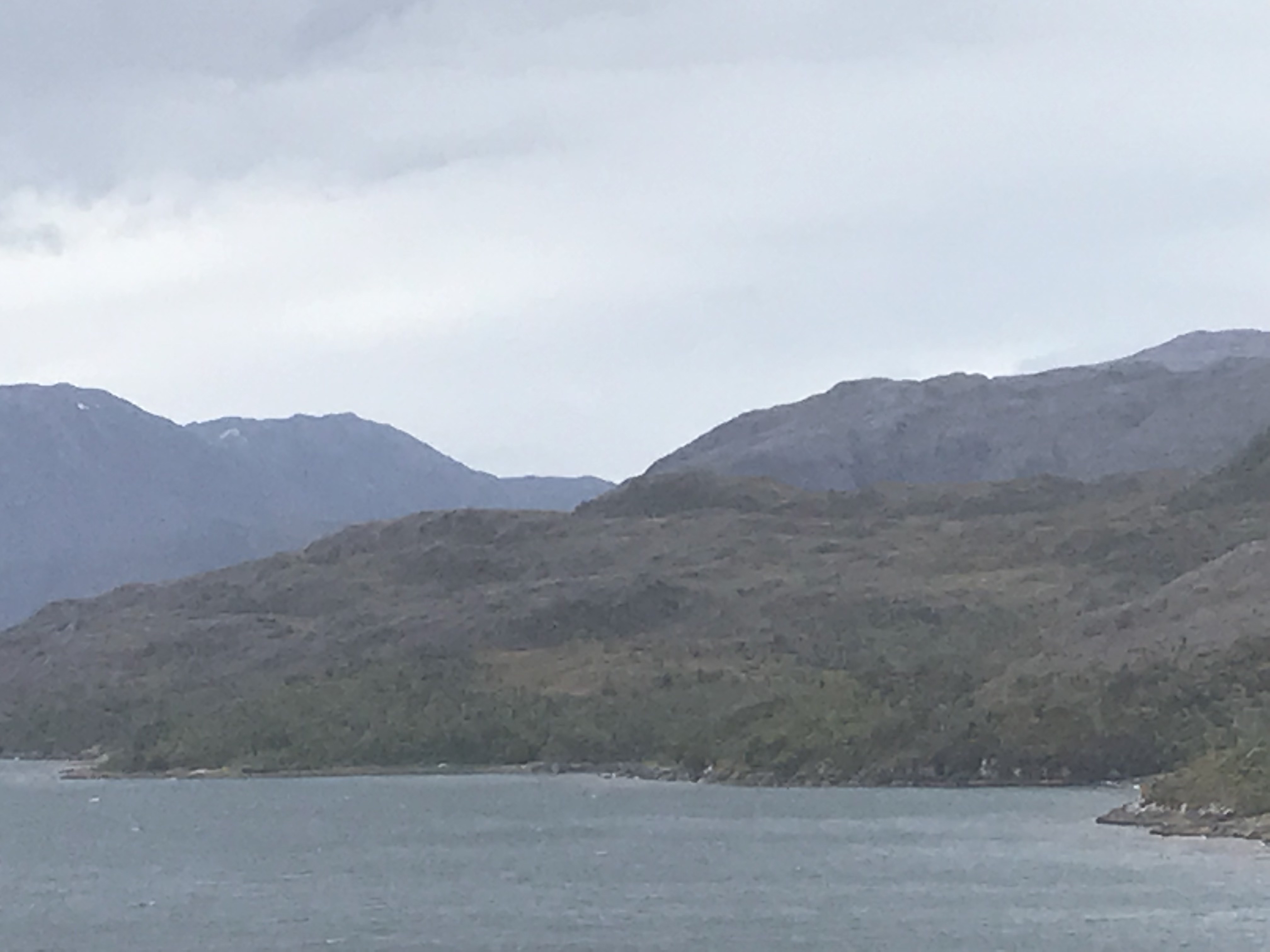
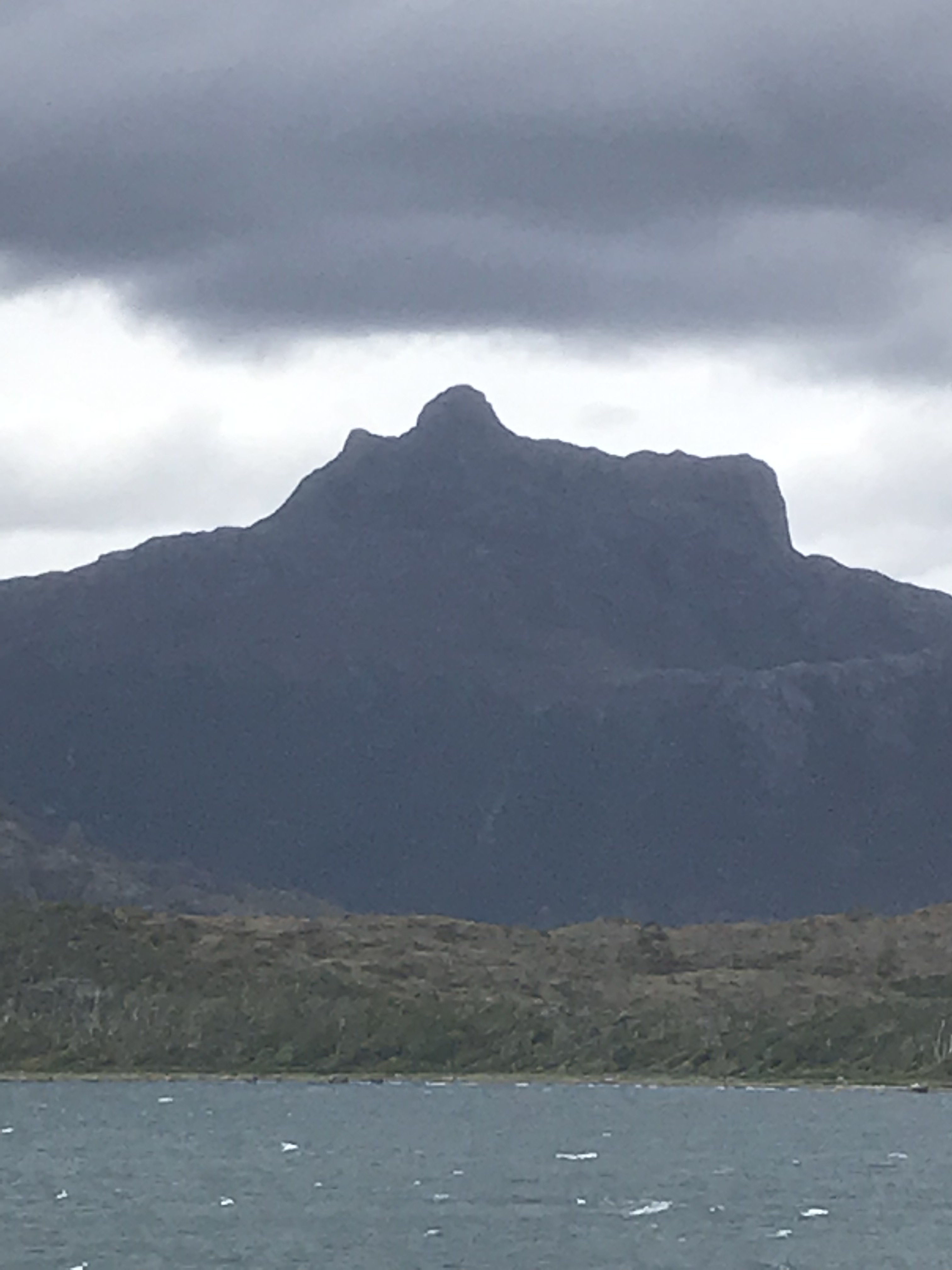
I am attaching a whole bunch of photos of mountain and glaciers as seen from the ship… I could spend an entire cruise sailing these fjords! They are gorgeous. It is a joke many places to say ‘If you don’t like the weather, wait an hour,’ but here it is literally true. We have gone from brilliant sunlight to socked-in fog and back a dizzying number of times in a day. We suspended bridge this afternoon because we were approaching a ‘gynormous’ glacier and rushed outside to take pictures. Unfortunately, we transitioned quickly while passing the glacier from mostly cloudy to socked-in fog so photos don’t do it justice, but I will post some anyway. Actually none of my pictures do the scenery justice, but I still take them. We spent our days sitting and the window reading and looking at the scenery along with some bridge (by a window) and eating (outside or by a window).
At night on the 5th we were back in the Pacific—more waves to rock us to sleep—and back in the fjords in the morning. By noon again back in the Pacific—of necessity–we’ll return to the fjords later tonight. The sea is much rougher; the Captain says 8-12 foot waves (‘rough sea’) so we’re rolling around a bit as we walk, grabbing for railings along the corridors. The port talk on Puerto Chacobucca, where we will spend tomorrow, promised more gorgeous scenery. –Cynthia
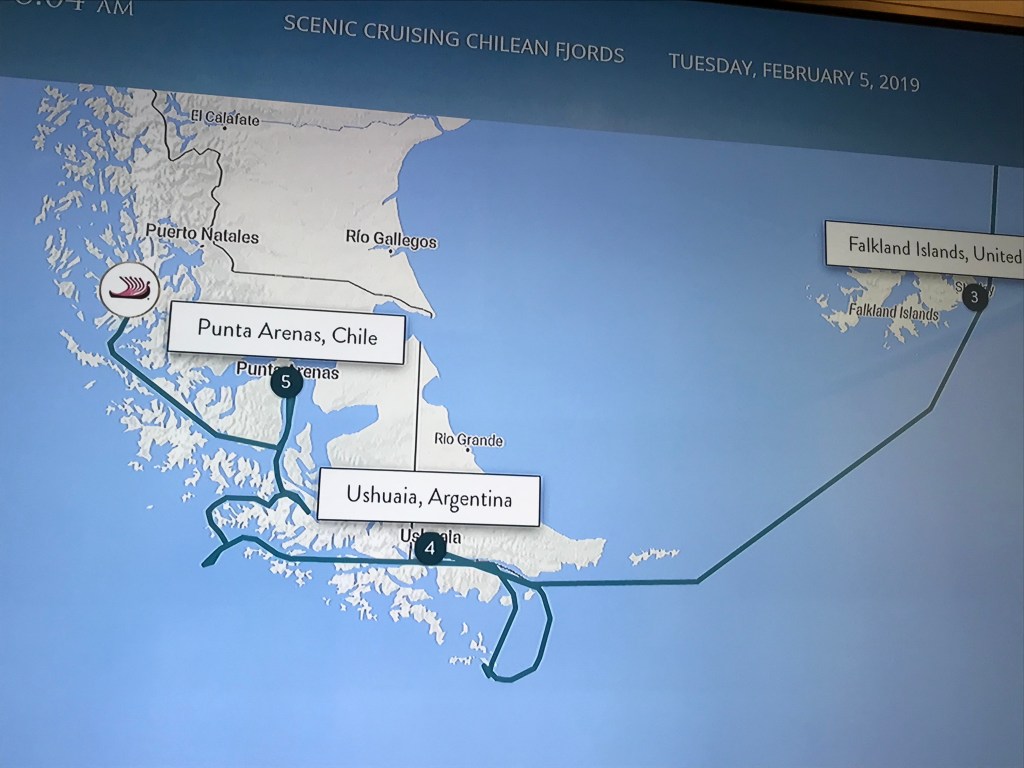
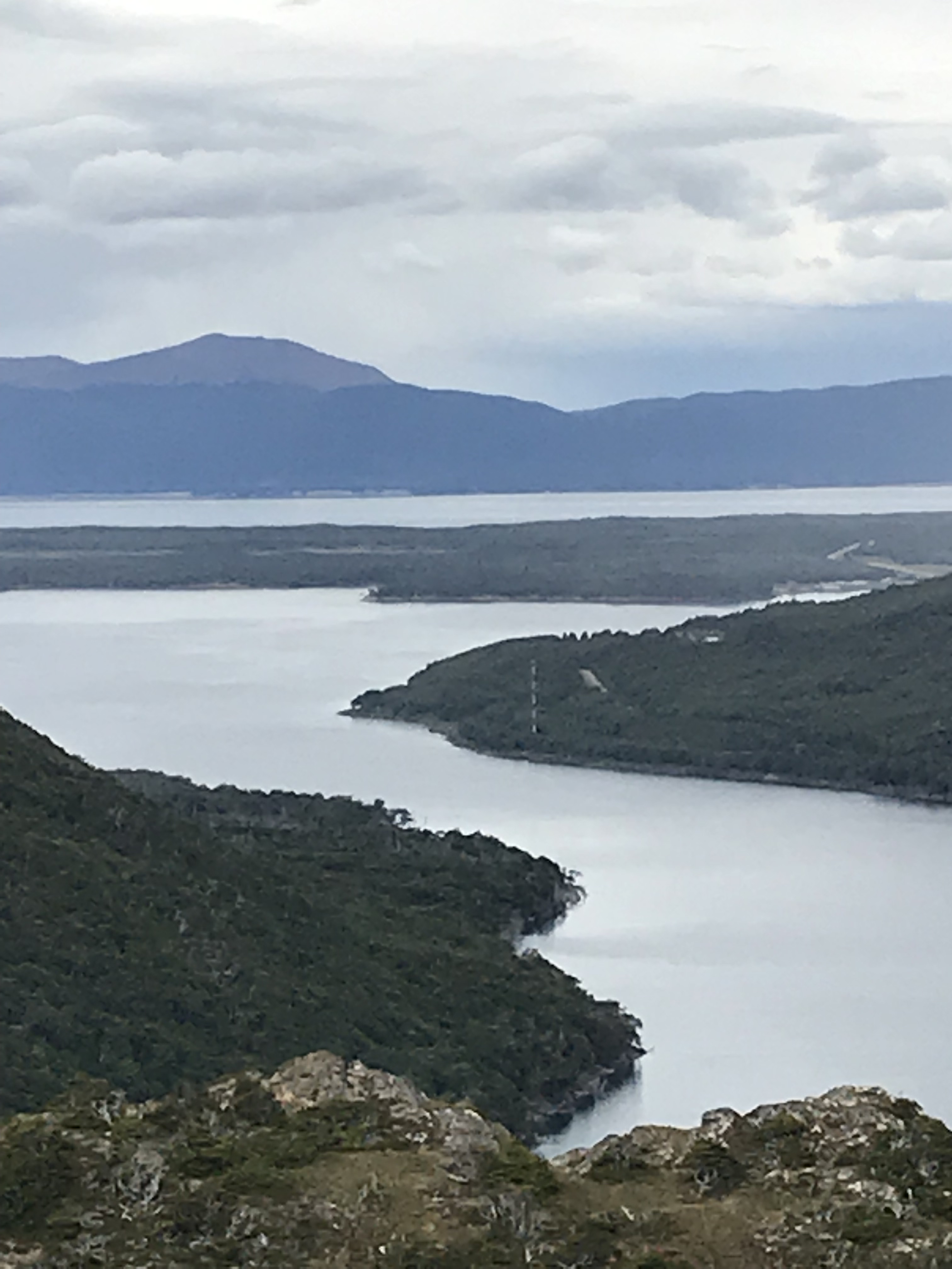
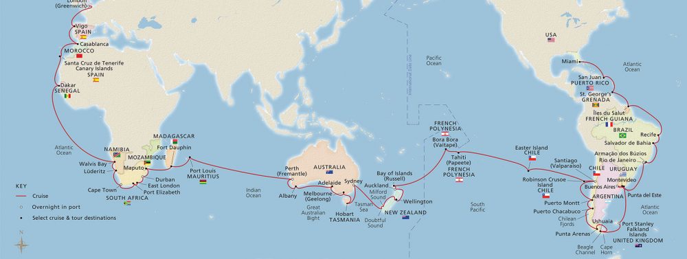
The Patagonian Archipelago. There are 3 basic ways around the southern part of South America: the northernmost route follows a somewhat erratic path along the Magellan Strait; a shorter, more direct passage along the Beagle Channel; and finally, more simply “rounding the Horn”! Given the manner in which the continent is broken up especially along its western and southern regions, the northern two routes have numerous variants.
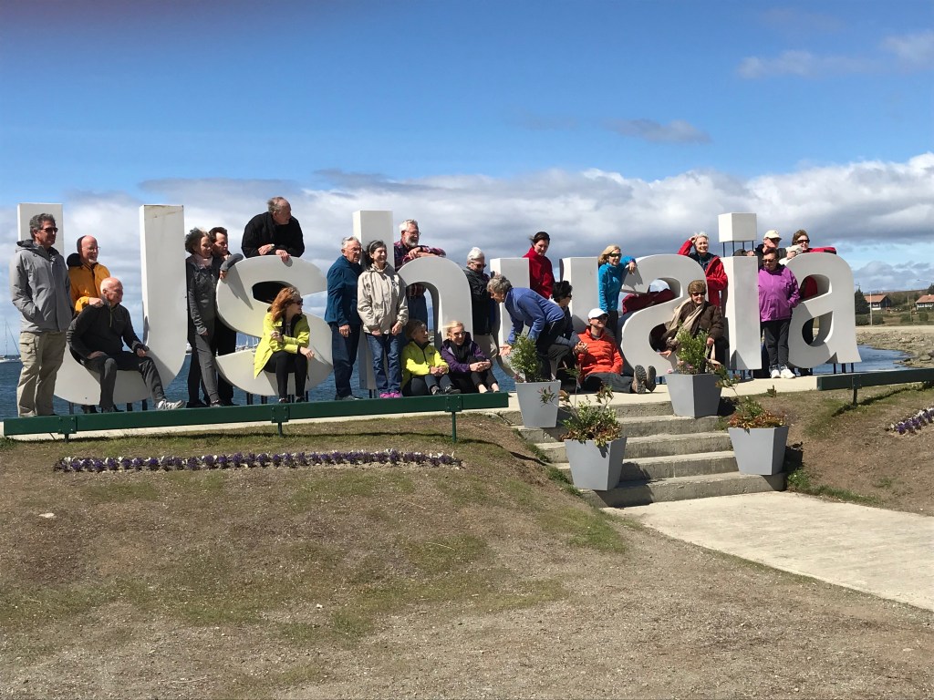
Leaving Port Stanley in the Falkland Islands, the Viking Sun traveled to Ushuaia (“U shu ai a”), Argentina, the major port in the Beagle Channel and jumping-off point for many scientific and tourist cruises to Antarctica (1000 km away). The Sun then retraced its steps eastwards in the Channel and subsequently south to Hornus, which is located in Drakes Passage. Hornus is the point where the Pacific and Atlantic oceans meet (and according to most accounts, usually collide with much turbulence and high waves) and is the basis for the geographical term “Cape Horn”. The often turbulent seas were relatively calm for our memorable journey.
Although not evident on the map, the Sun circled Hornus, allowing passengers to view the Chilean naval station on the cliff top and the large albatross monument that had been erected in memory of the thousands of sailors who over the centuries lost their lives “rounding the Horn” before the opening of the Panama Canal.
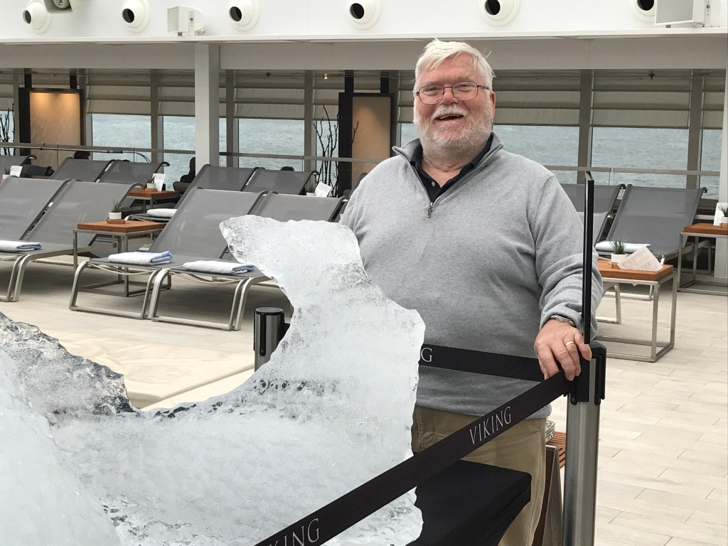
The ship then returned north and turned westwards, winding its way through the Channel and around numerous Chilean islands along the way. The short SW loop out to sea at the western edge of the Archipelago allowed the ship to make a relatively narrow, early morning reach, followed by a dawn pirouette and return between tall mountains and glaciers on its way northward to a late afternoon arrival in Punta Arenas, Chile, the largest port on the Straits of Magellan. Sunrise brought the peaks and glaciers into majestic display on both starboard and port sides of the ship, and at some point one of the ship’s tenders captured a large chunk of glacier that had recently calved into the Strait. When displayed on the pool deck, the irregular bluish piece of ice elicited tentative touches and frequent photo opportunities (see earlier posting), oohs and aahs and provided the backdrop for likely equally numerous uTube photos.
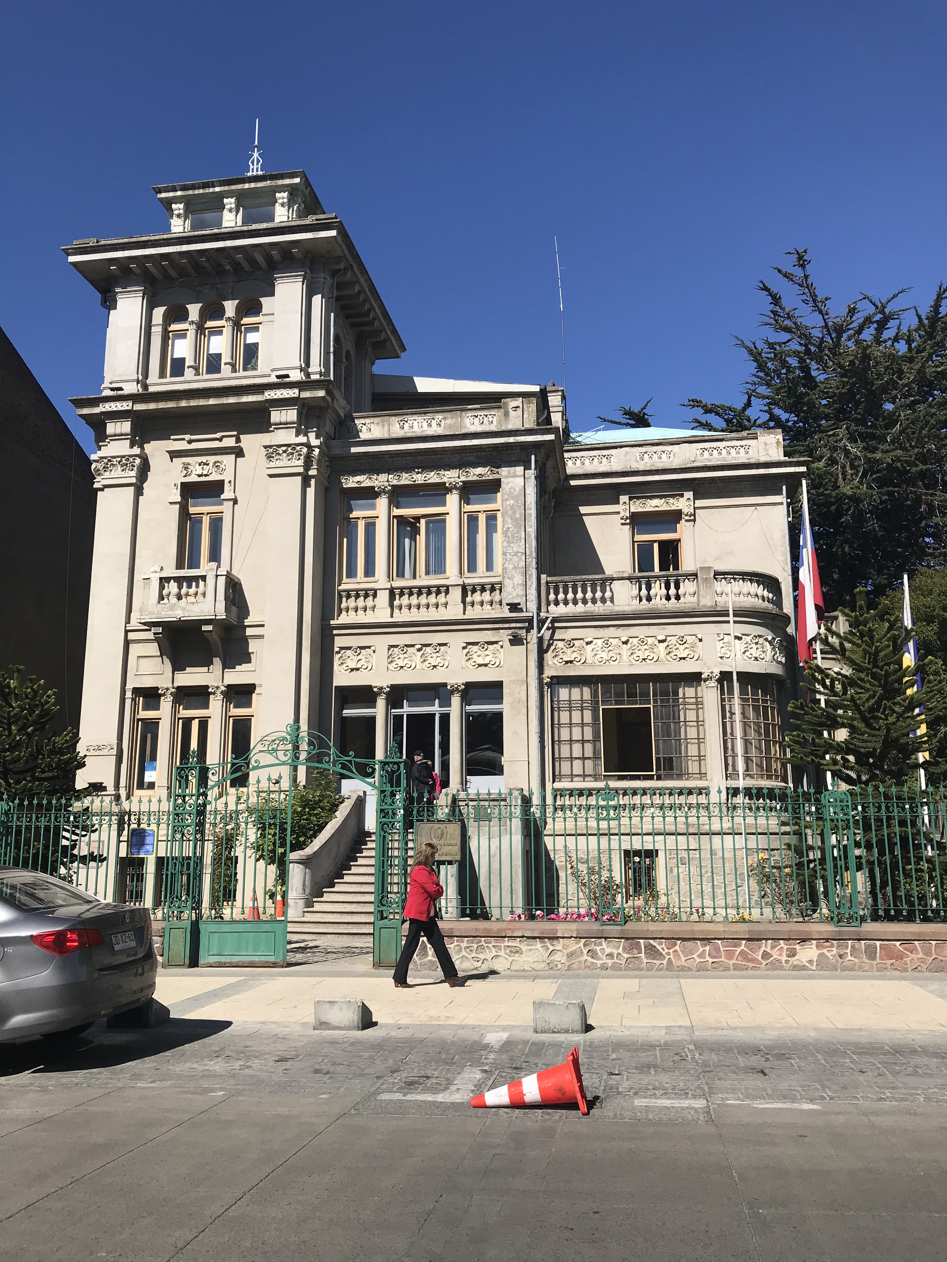
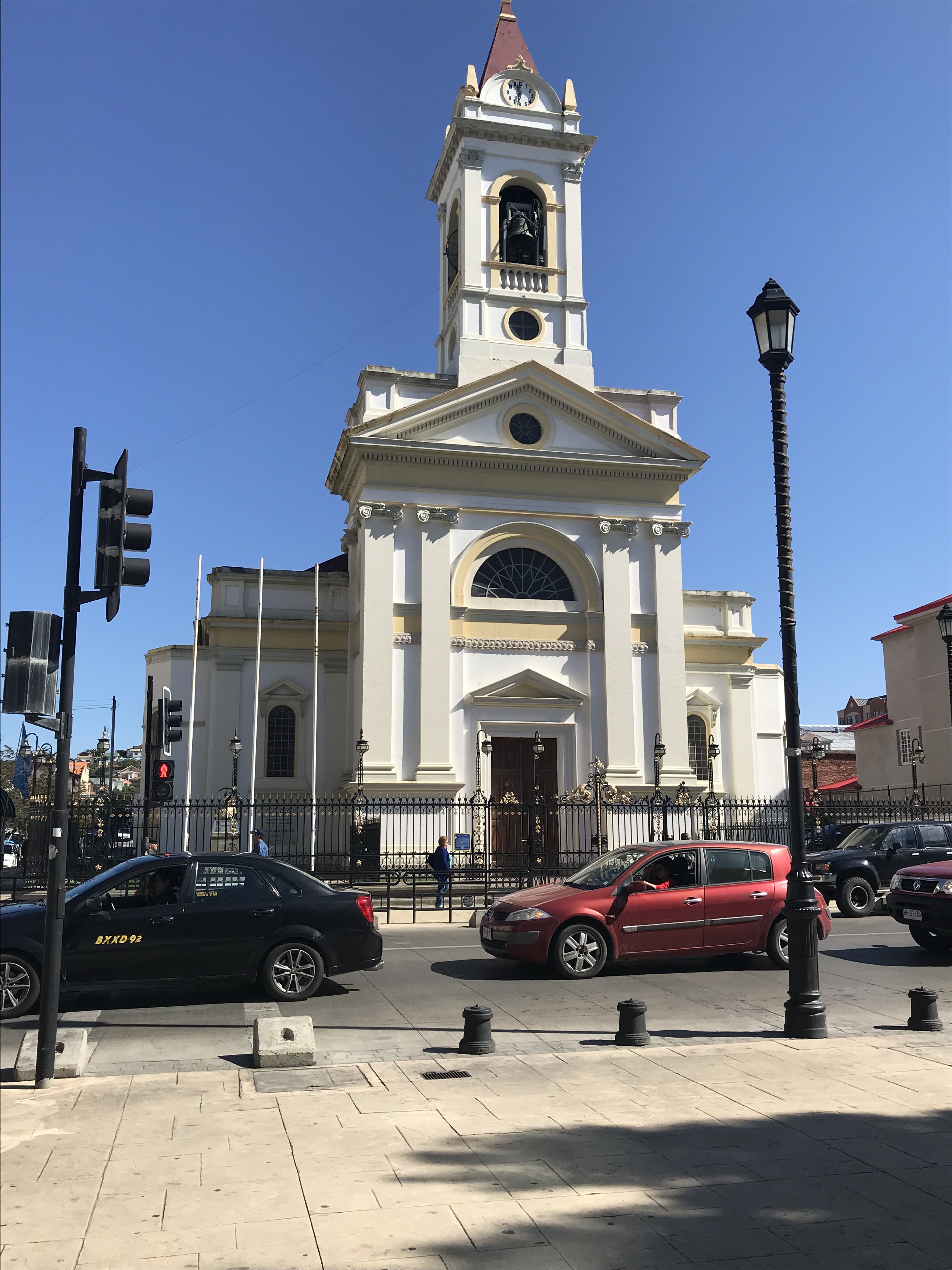
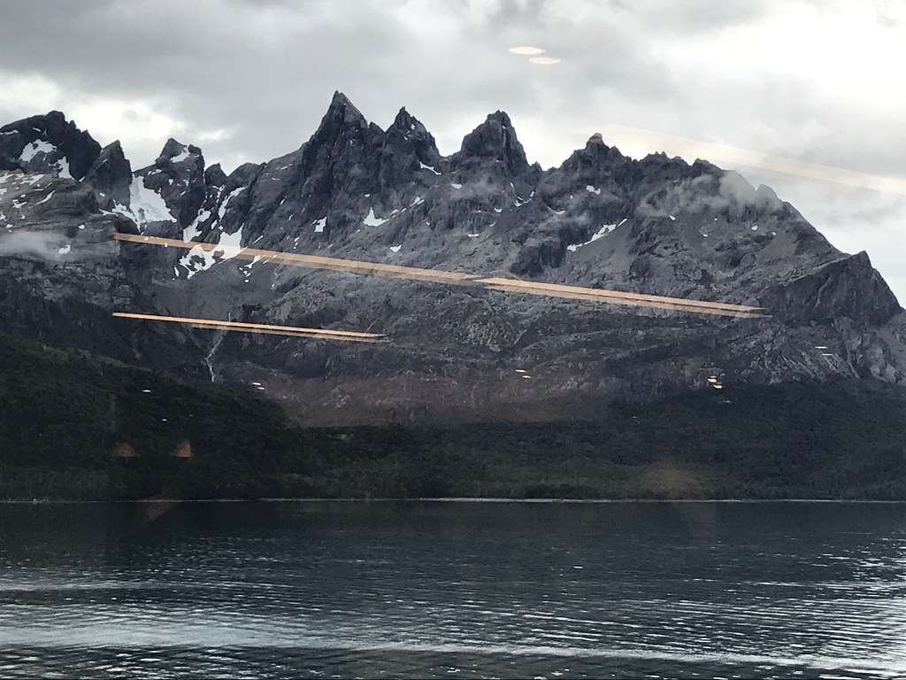
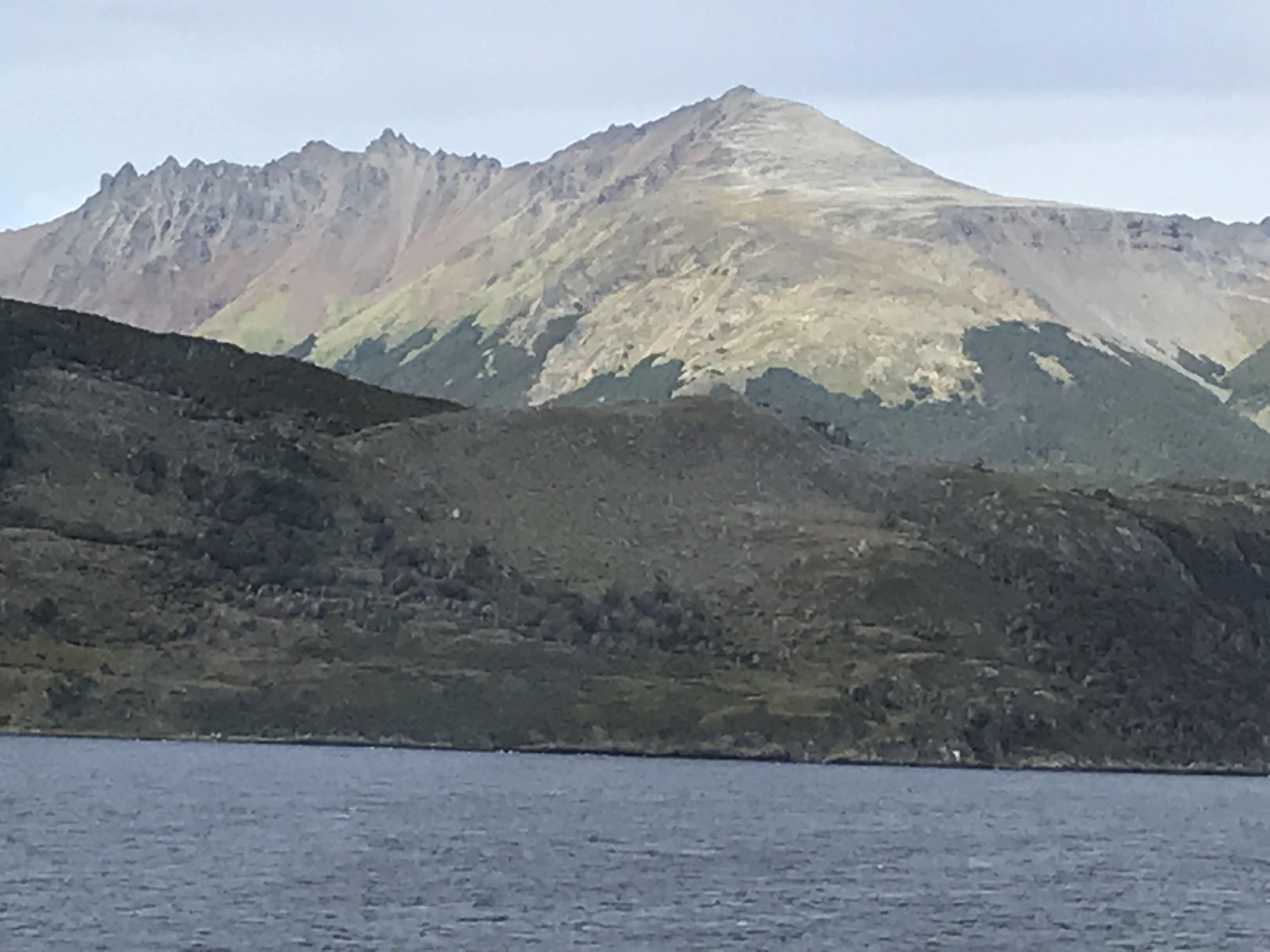
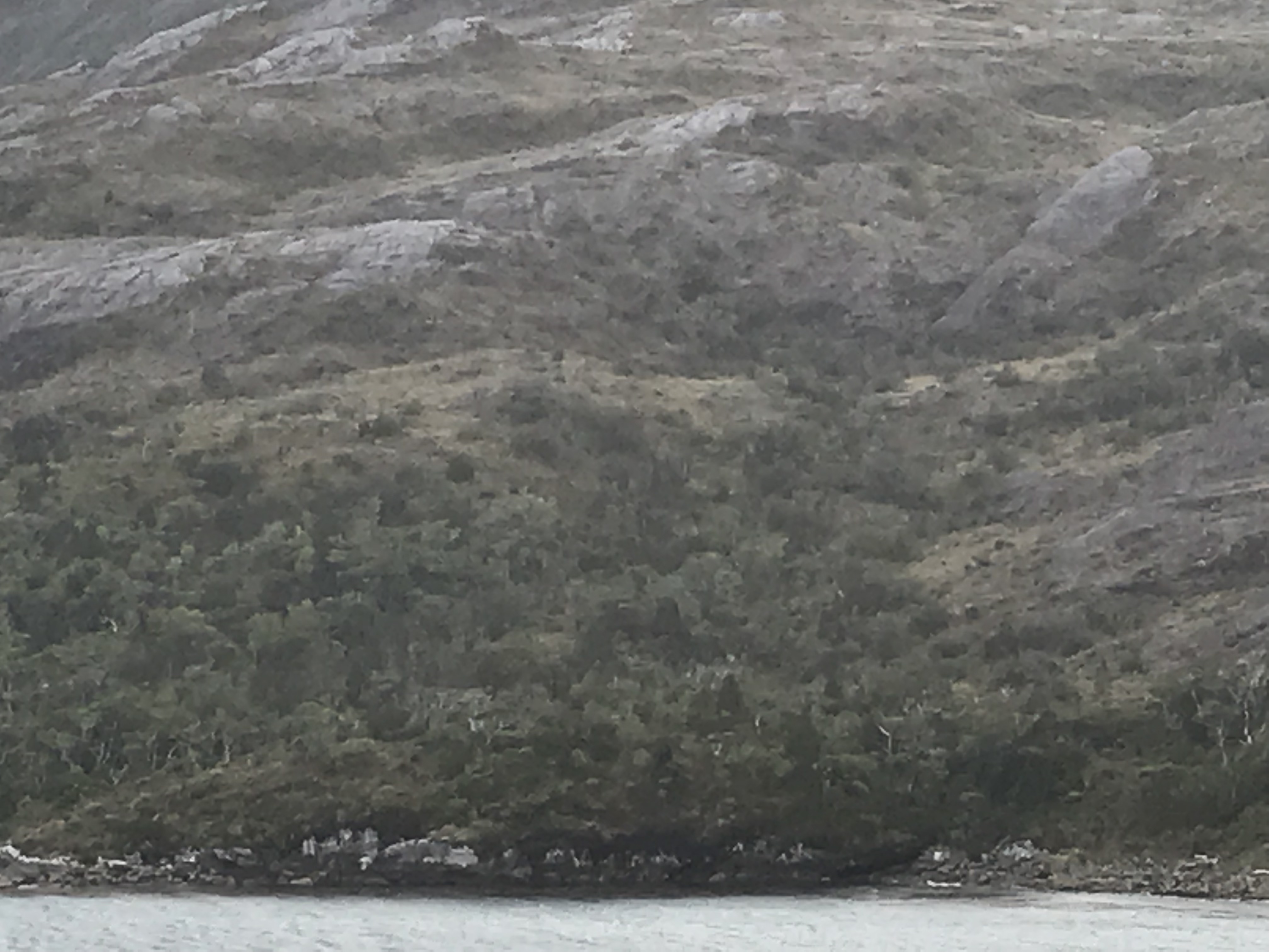
Leaving Punta Arenas, Sun retraced its SE path along the Strait and then turned northwesterly interlacing its way in continuing calm waters amongst numerous islands, many too small to resolve on the map depicted above. With virtually no shoreline, mountains rose abruptly to elevations often surpassing 1500 m, with rugged terrain occasionally broken by cataracts and with rising height covered by stunted trees, then what seemed at a distance like low shrubs finally yielding to naked or snow-covered granite. Glaciers were rare but an impressive one extended down a valley to the edge of the Strait was sighted earlier this afternoon. –Chris